Pinnacles with Katia
Pinnacles National Park · Bear Gulch talus caves · High Peaks · Salinas Valley

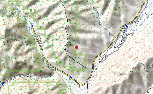
Contours, elevations and trails from OpenTopoMap. Scroll down for the zoomable map.
Pinnacles is the eroded remnant of a volcanic field that erupted some 23 million years ago near present-day Lancaster, then rode the San Andreas Fault nearly 200 miles north to where it stands today. The spires and talus caves of Bear Gulch and the High Peaks are what's left of it. The park is also the release site for California condors — North America's largest land bird, down to 22 individuals in the 1980s and now flying here again.
We hiked up through the Bear Gulch talus caves — scrambling under the fallen boulders where the trail ducks into the dark — and on into the High Peaks, with Katia, before the kids. It was still Pinnacles National Monument then; it wasn't redesignated a national park until 2013.
(Pre-digital era — no photos survive. Placed in the summer of 2009, one of the two pre-kids summers with Katia; the exact date wasn't recorded.)
The park's spires are the eroded half of an ancient volcano that erupted 23 million years ago near present-day Lancaster, roughly 195 miles away. The San Andreas Fault has been slowly dragging that half of the volcano northwest ever since.
(The route drawn follows the mapped trails from the Bear Gulch caves up into the High Peaks, the two places we walked; the exact loop wasn't recorded.)