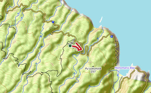
Contours, elevations and trails from OpenTopoMap. Scroll down for the zoomable map.
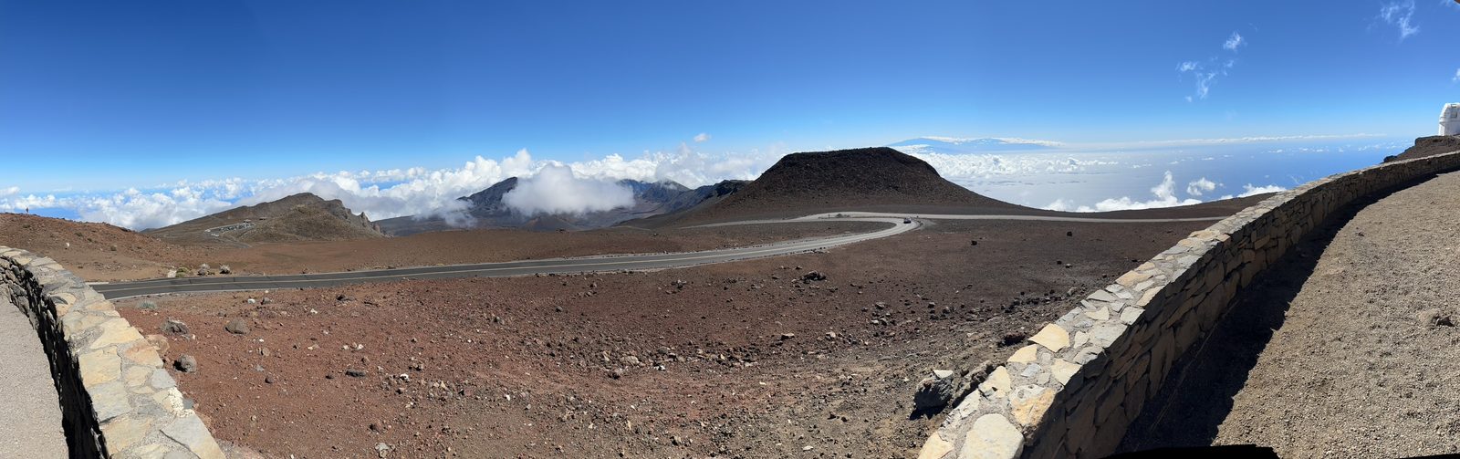
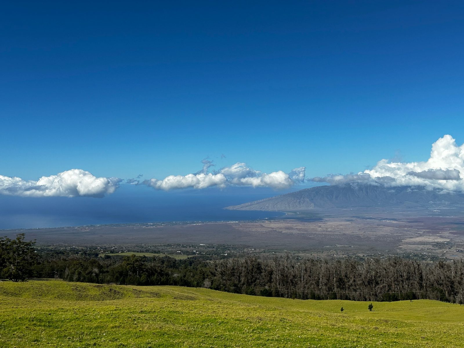
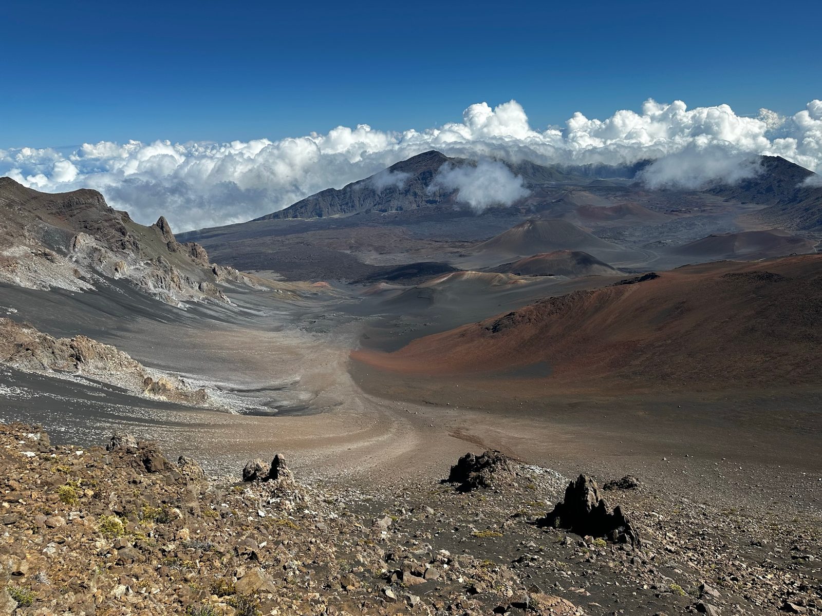
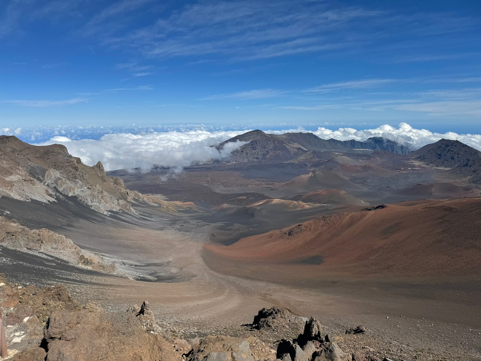
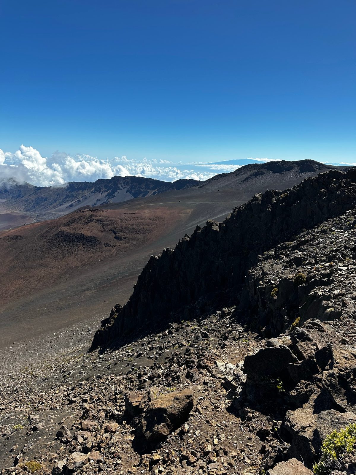
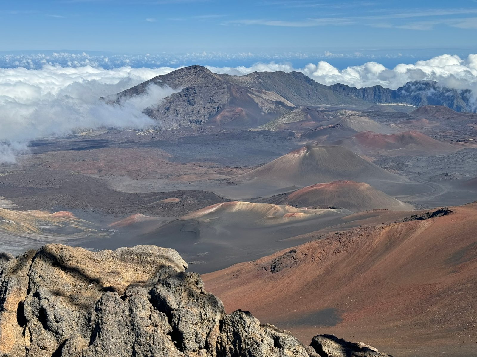
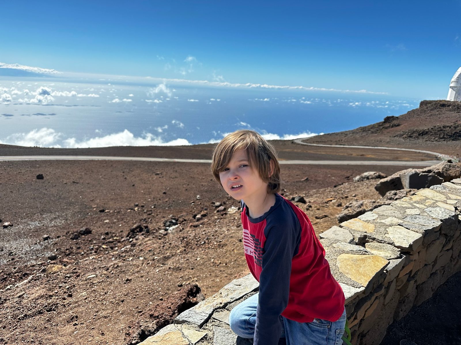
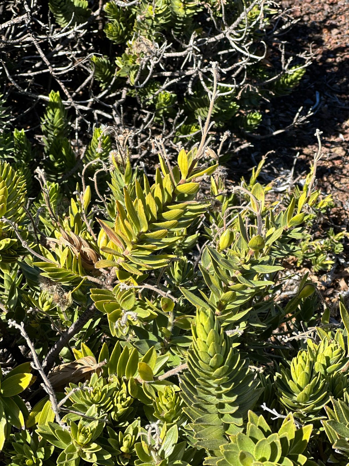
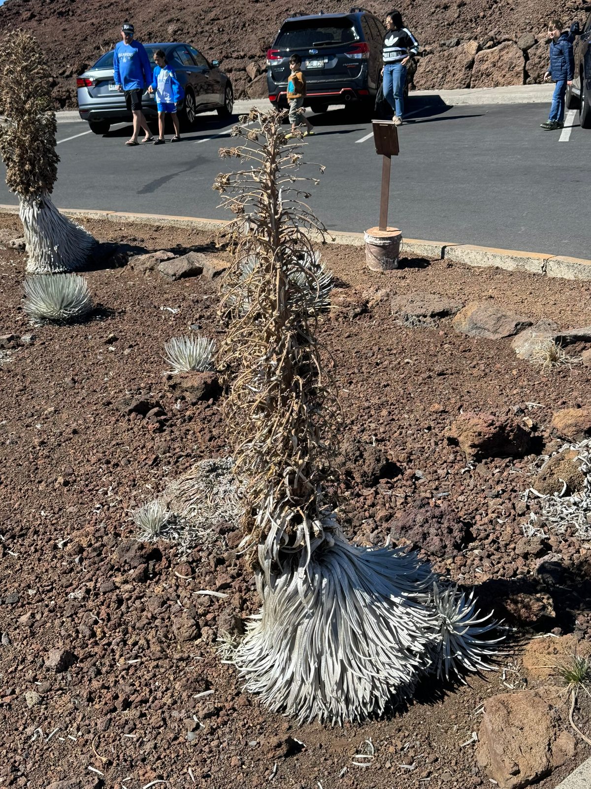
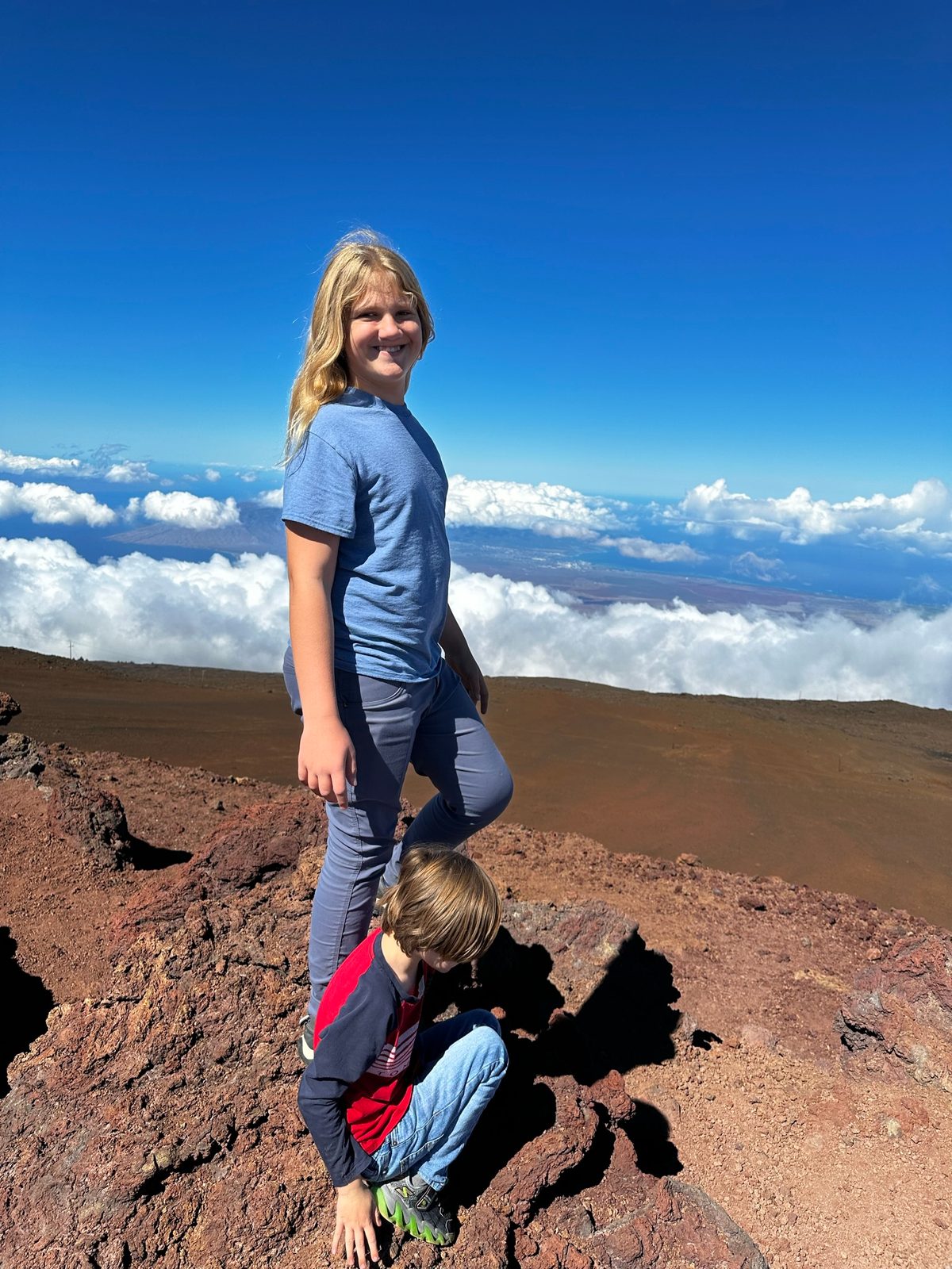
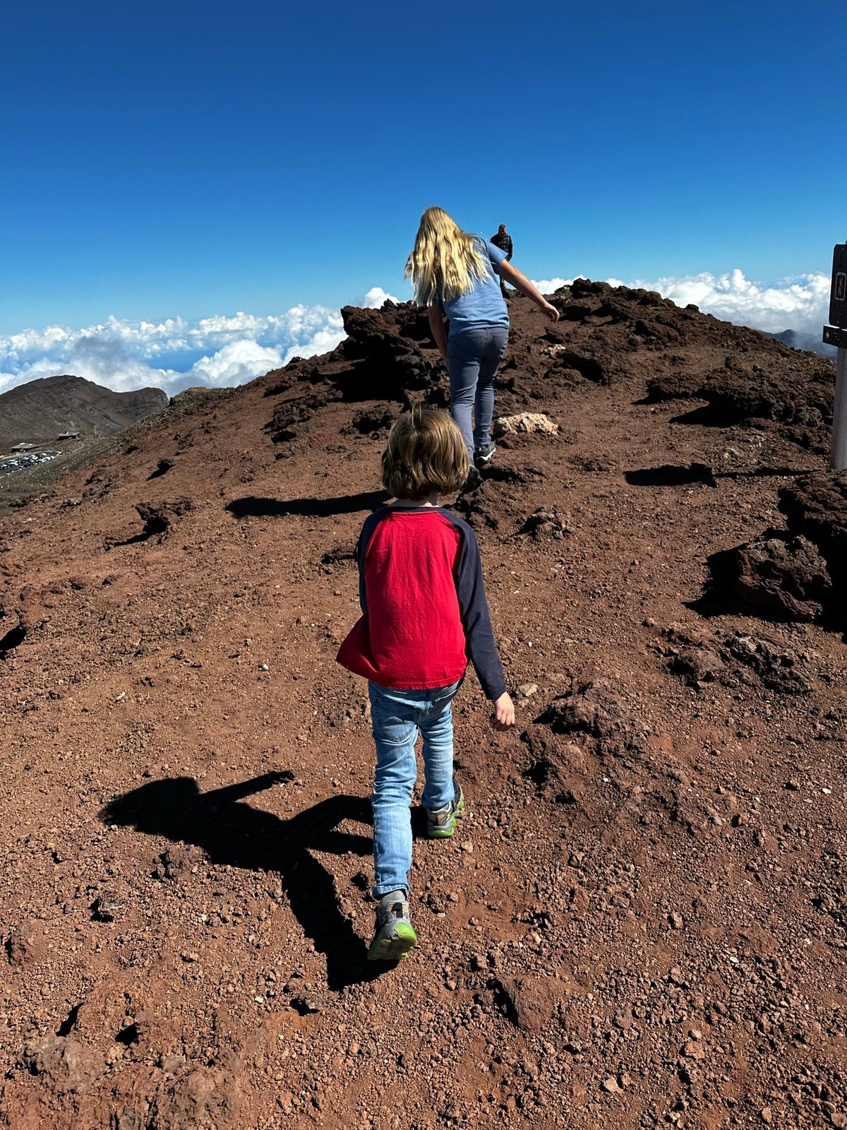
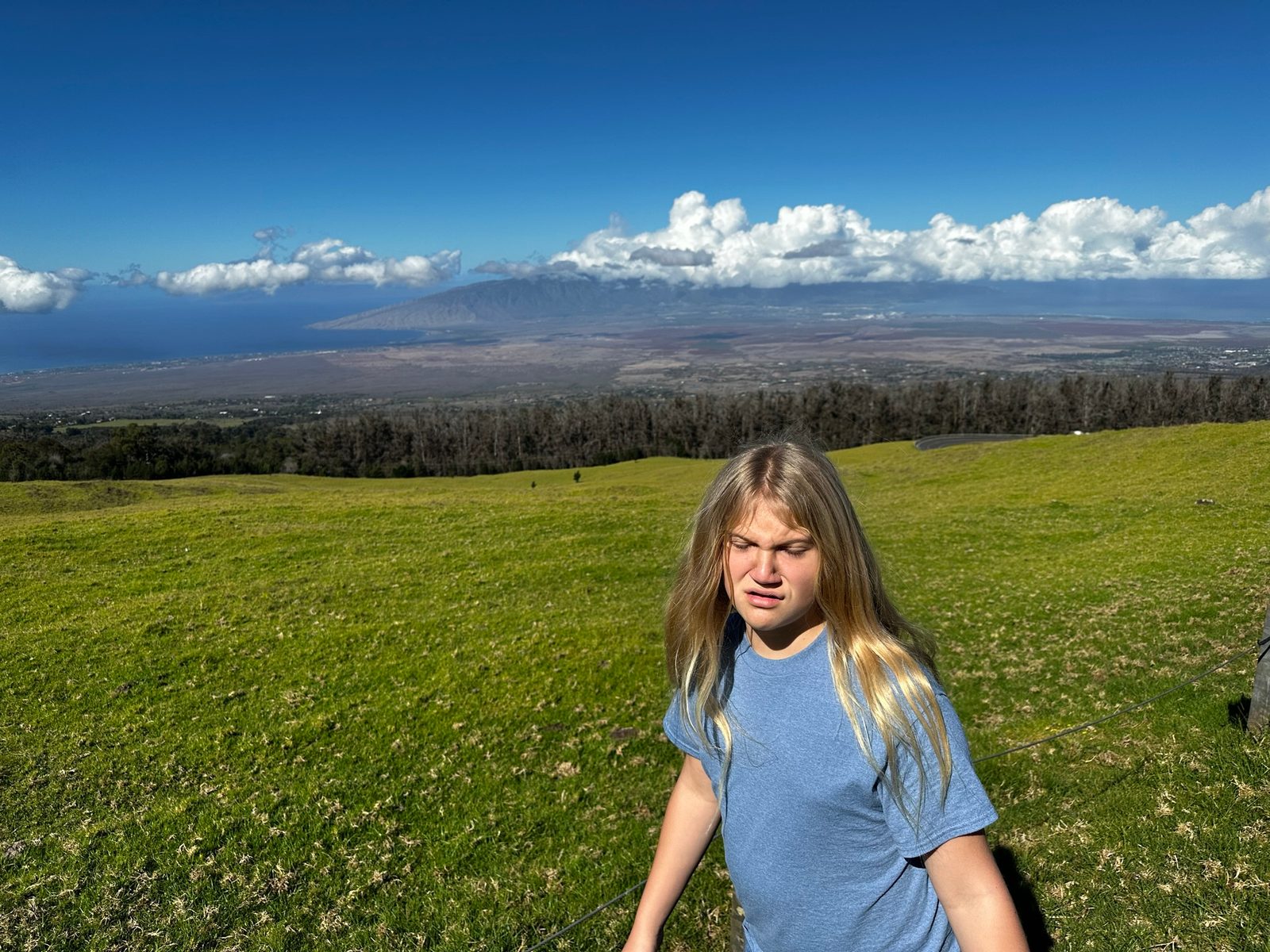
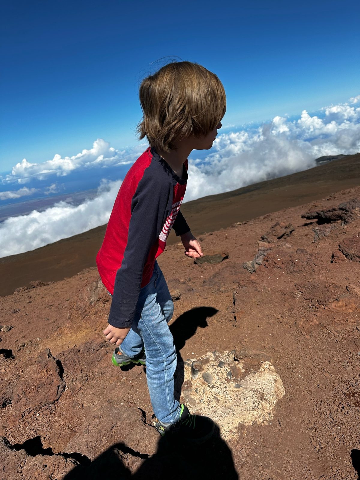
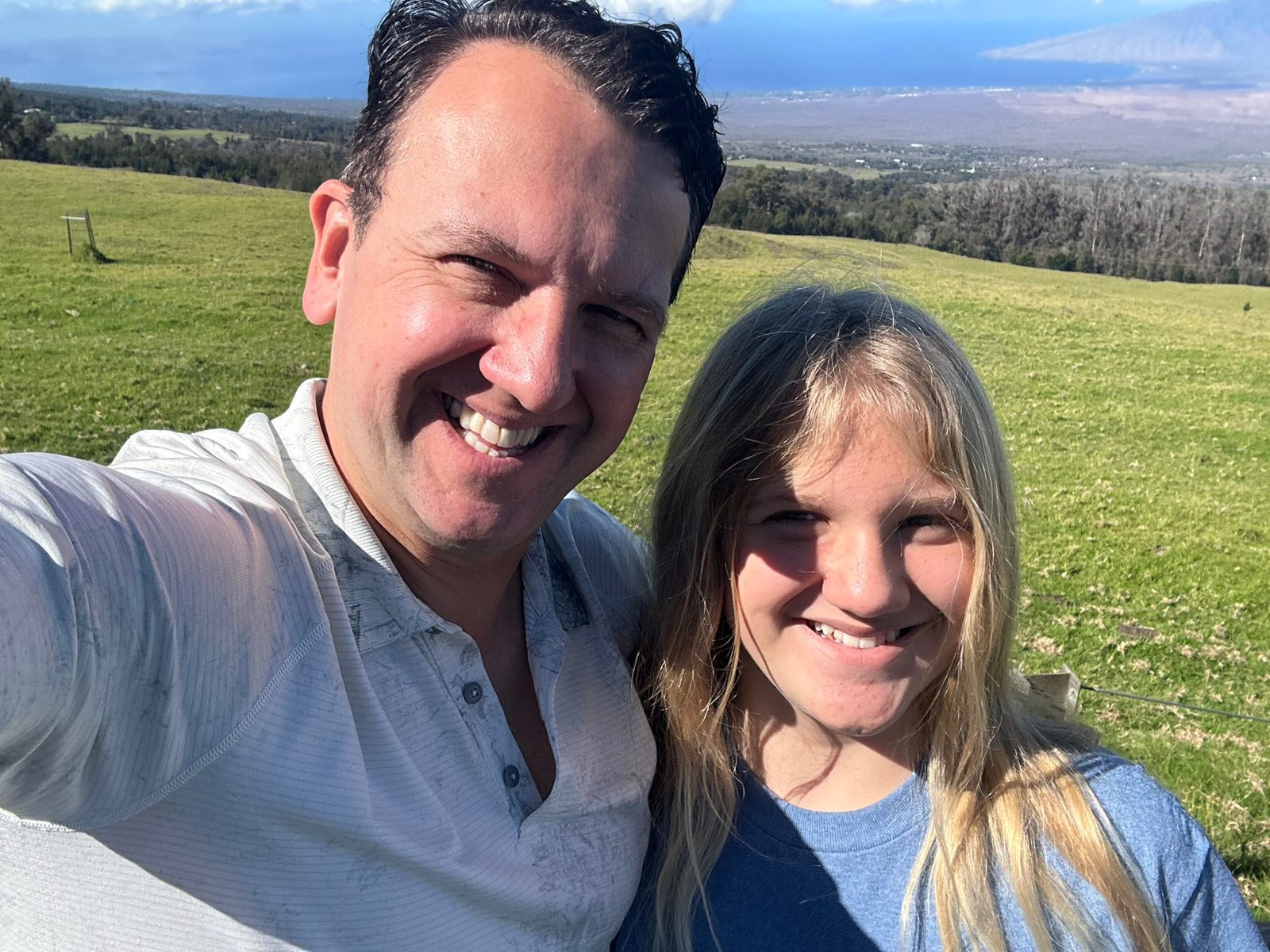
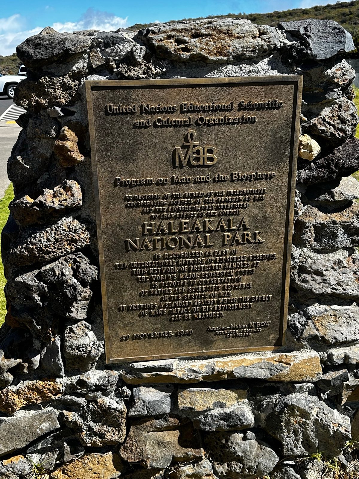
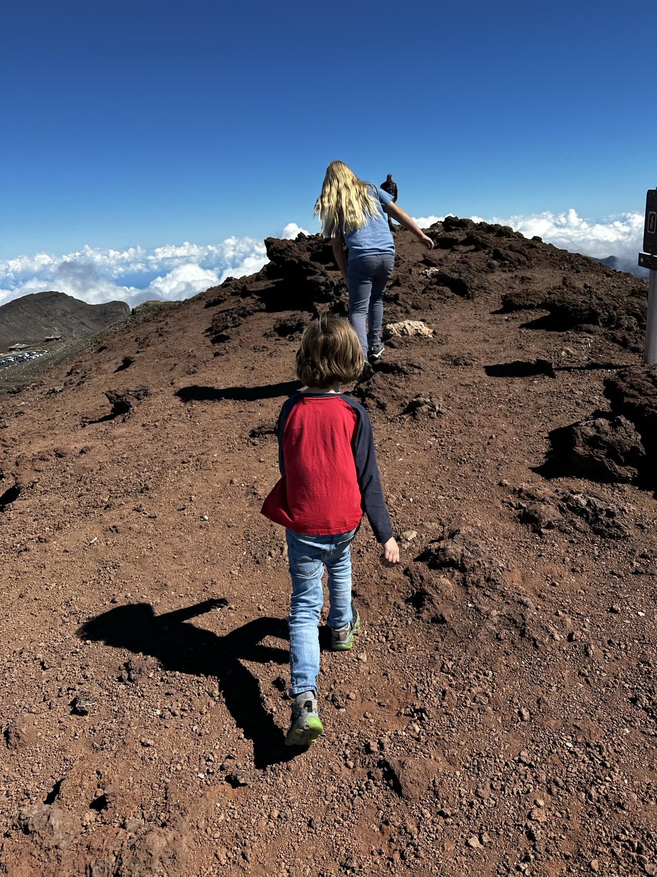
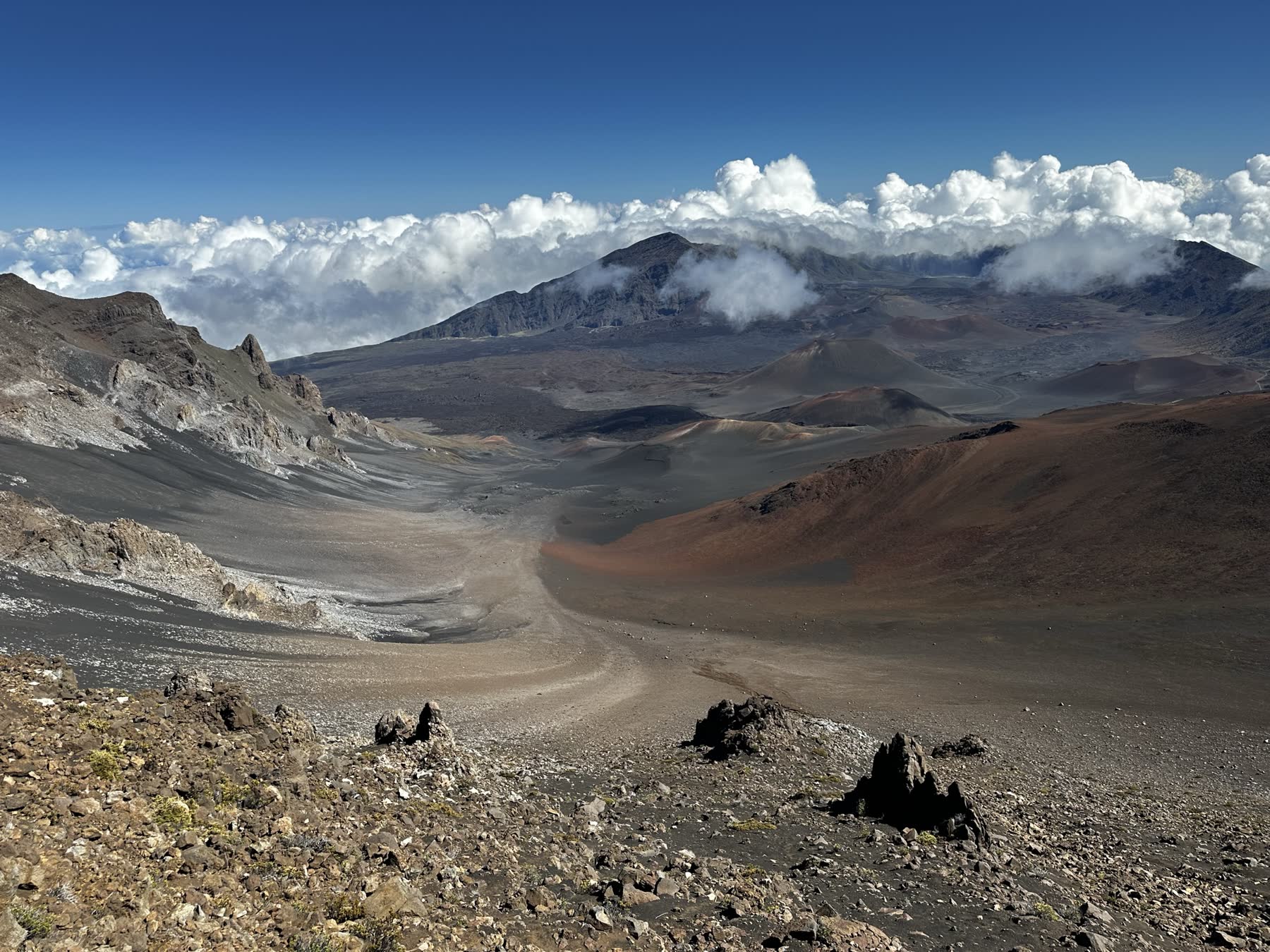
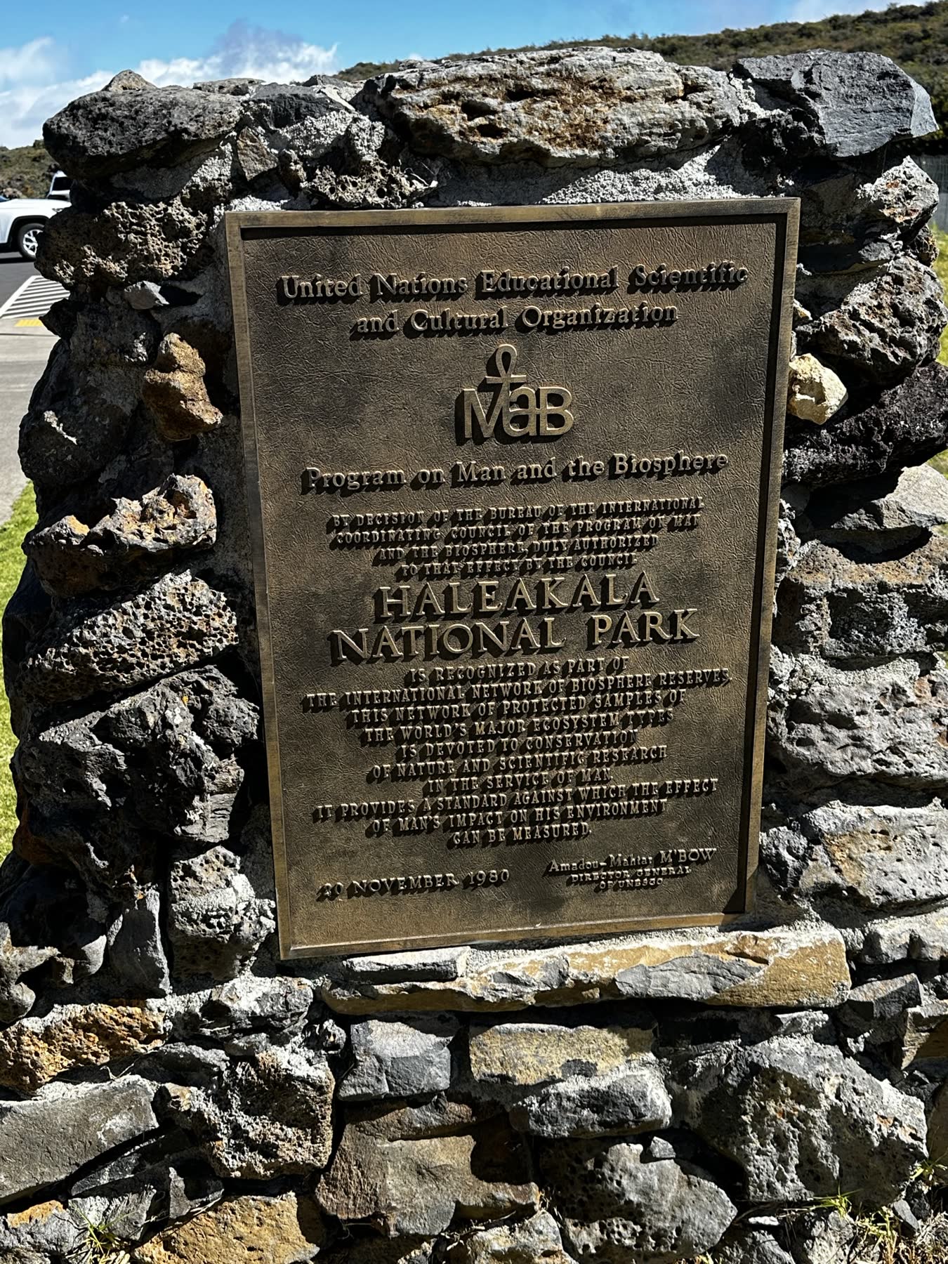
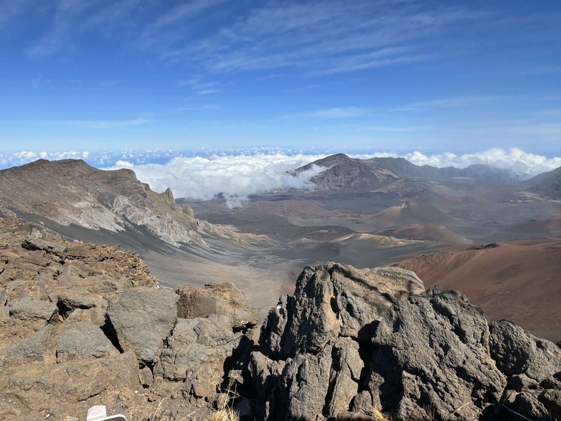
Maui with the family, over several trips. The high point is Haleakalā National Park — the drive up above the clouds to the summit, then out onto the trails that drop into the vast red-and-black volcanic crater, past cinder cones and the silver rosettes of native silverswords, more than 10,000 feet up.
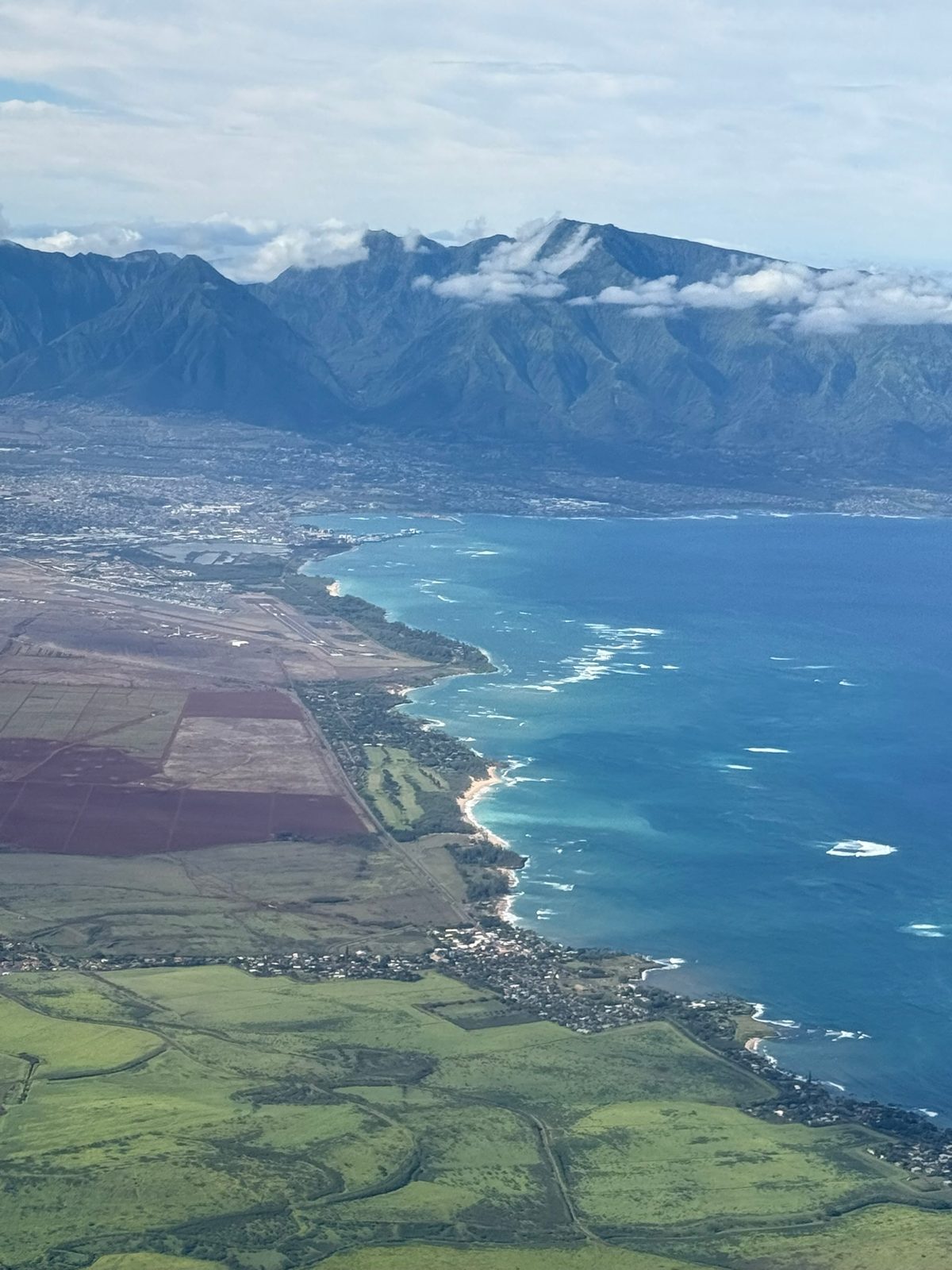
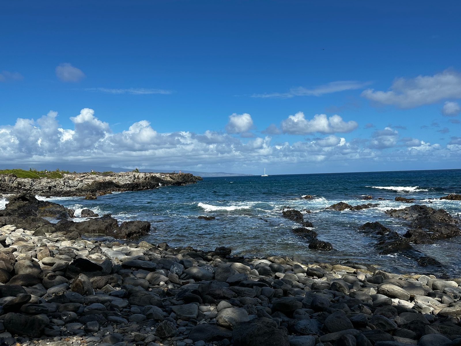
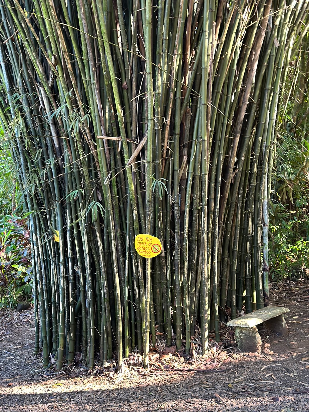
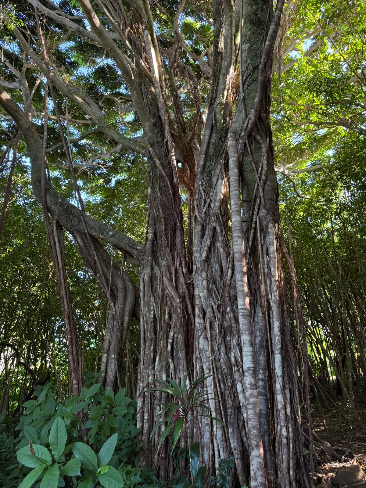
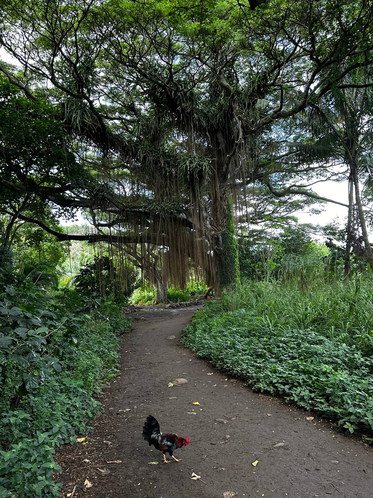
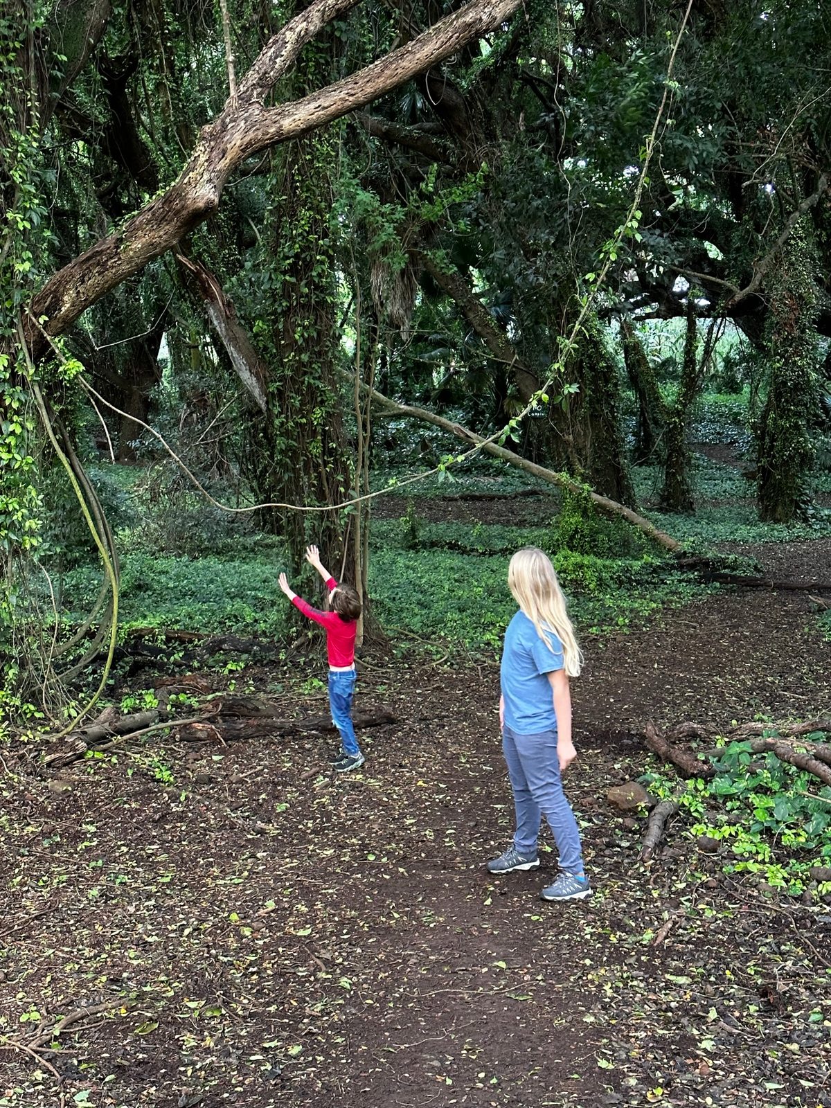
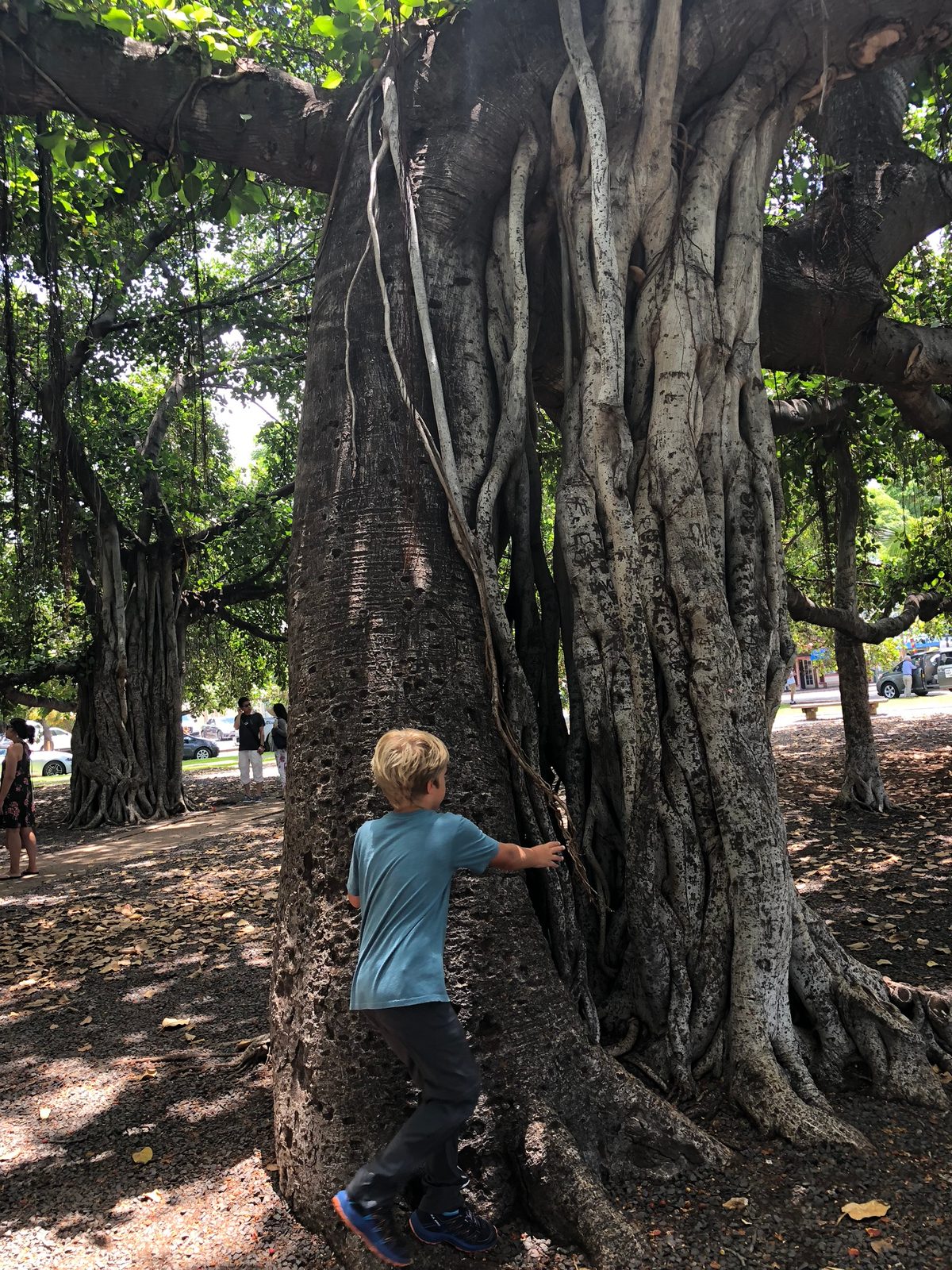
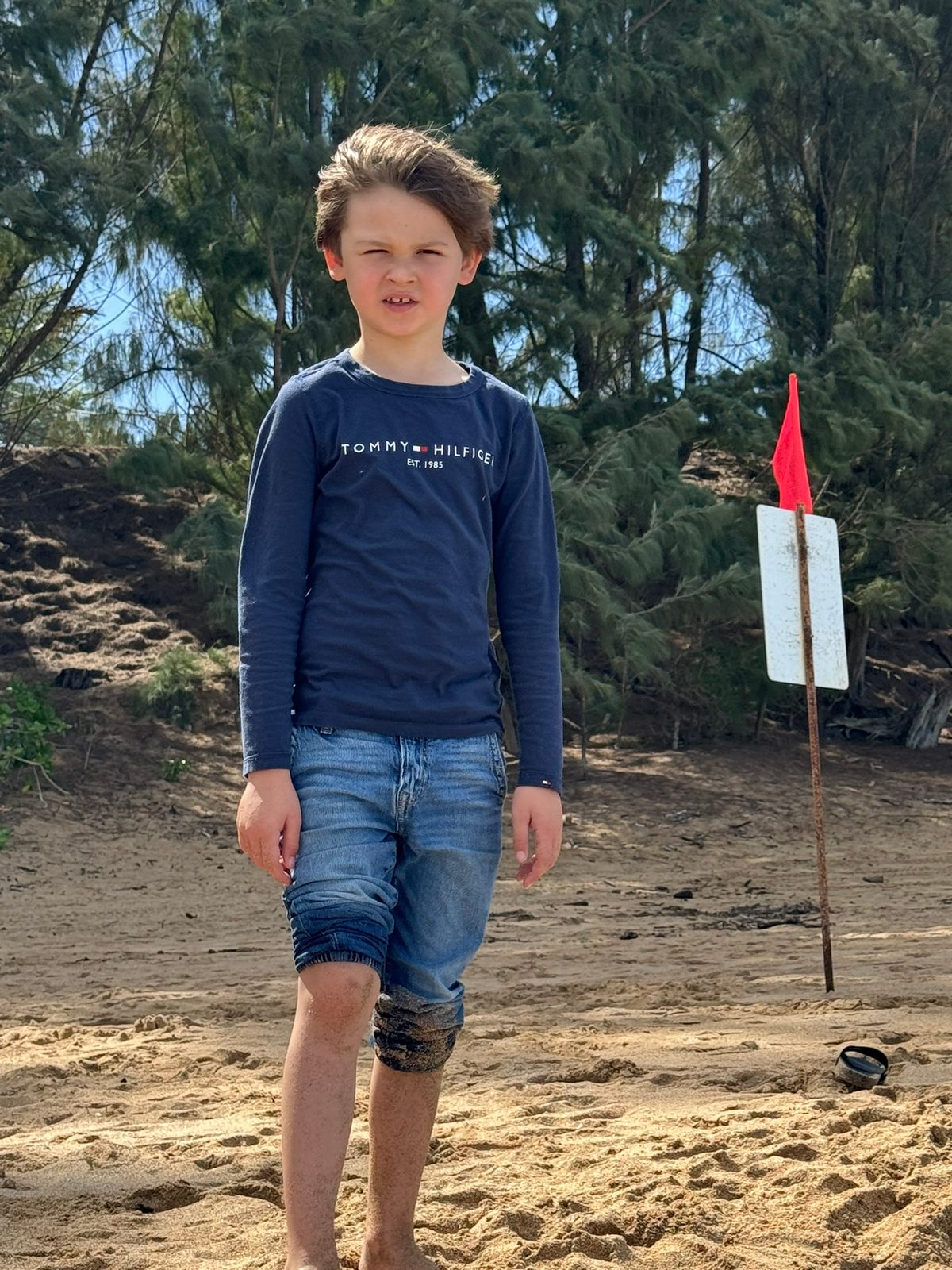
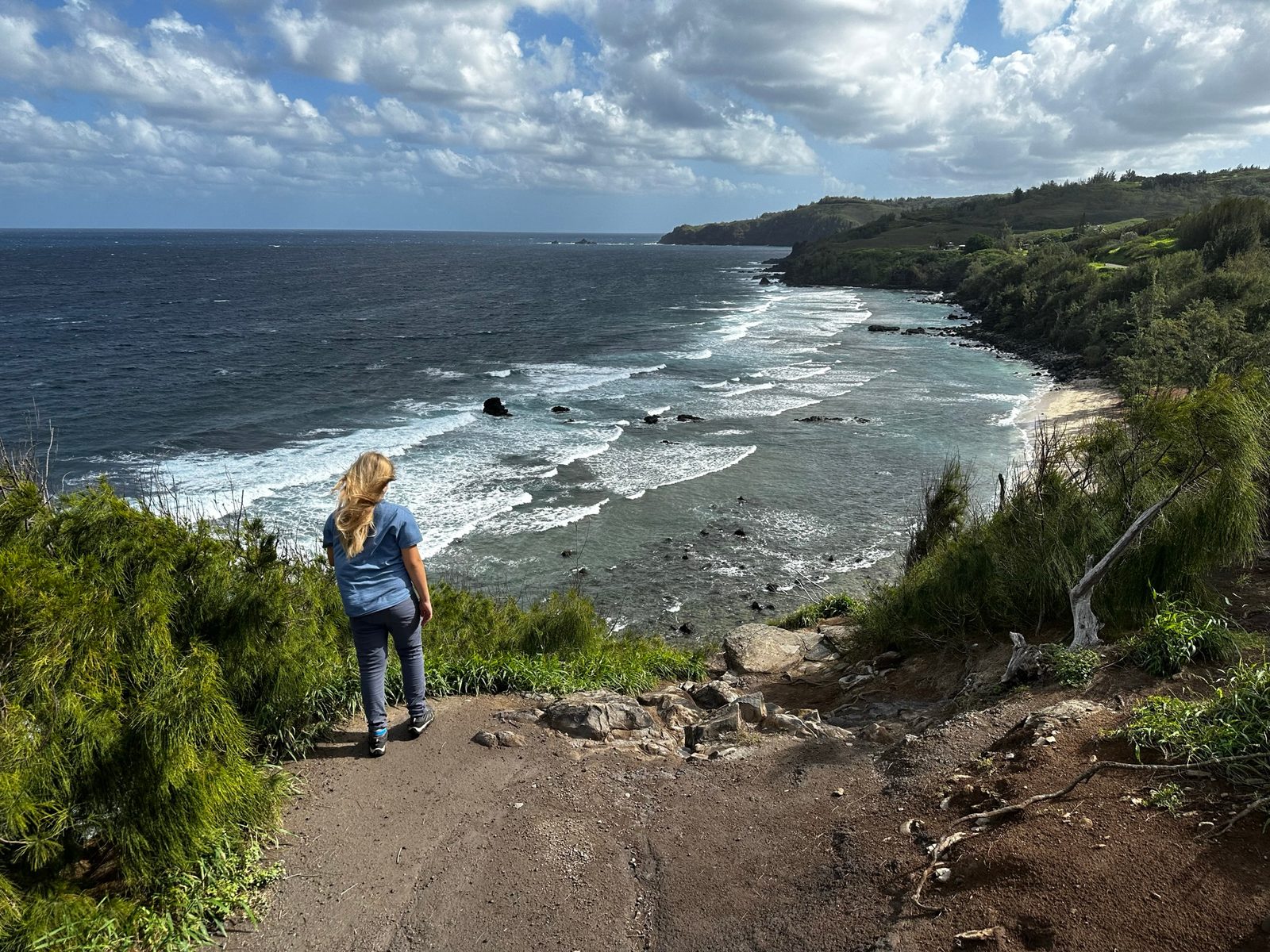
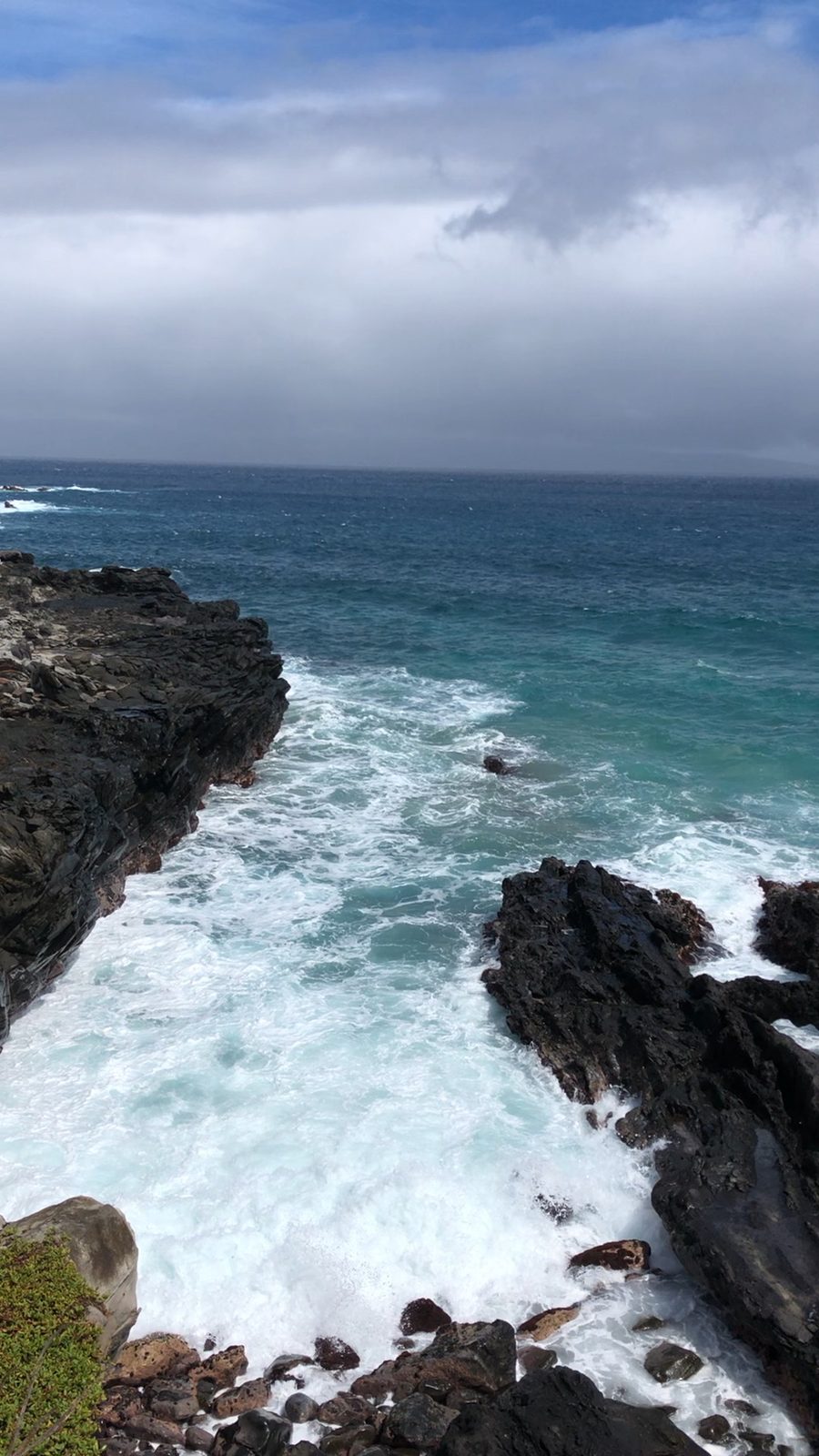
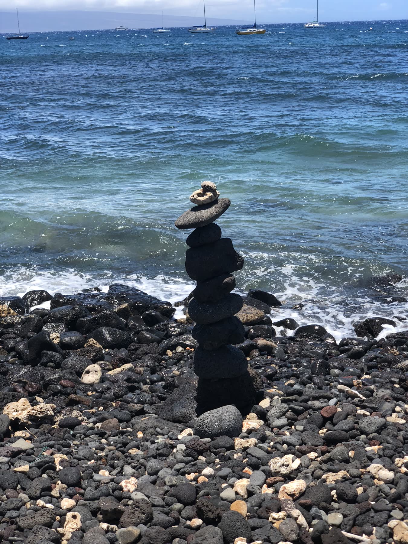
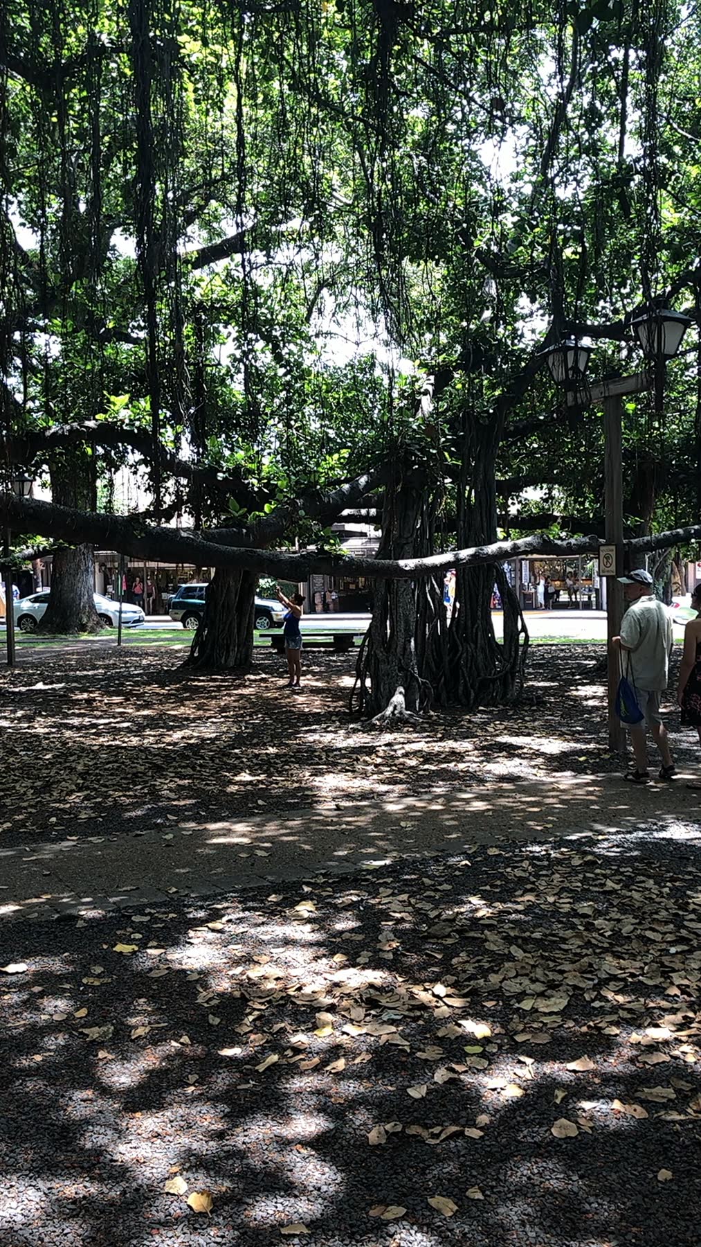
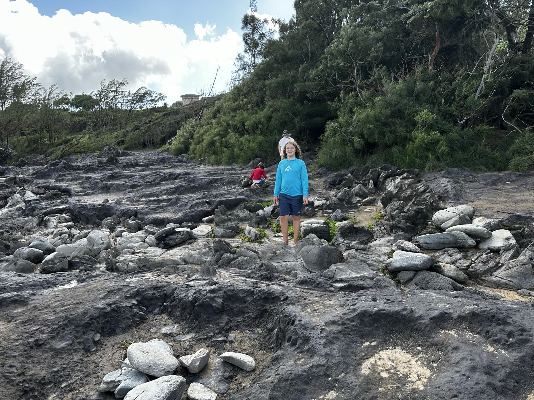
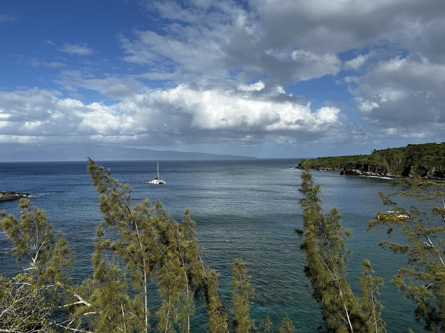
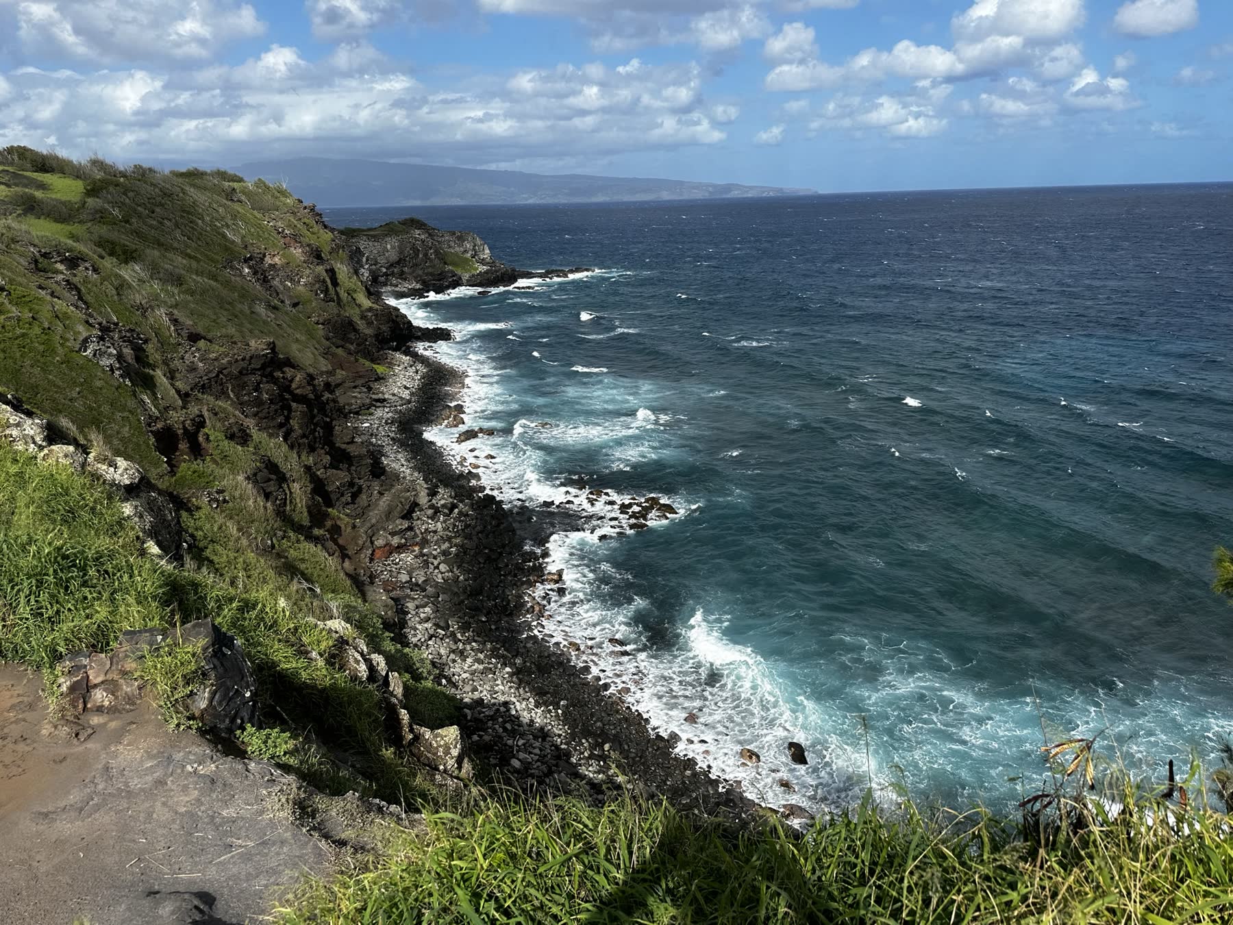
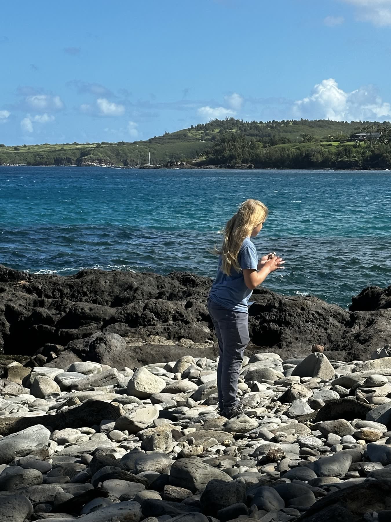
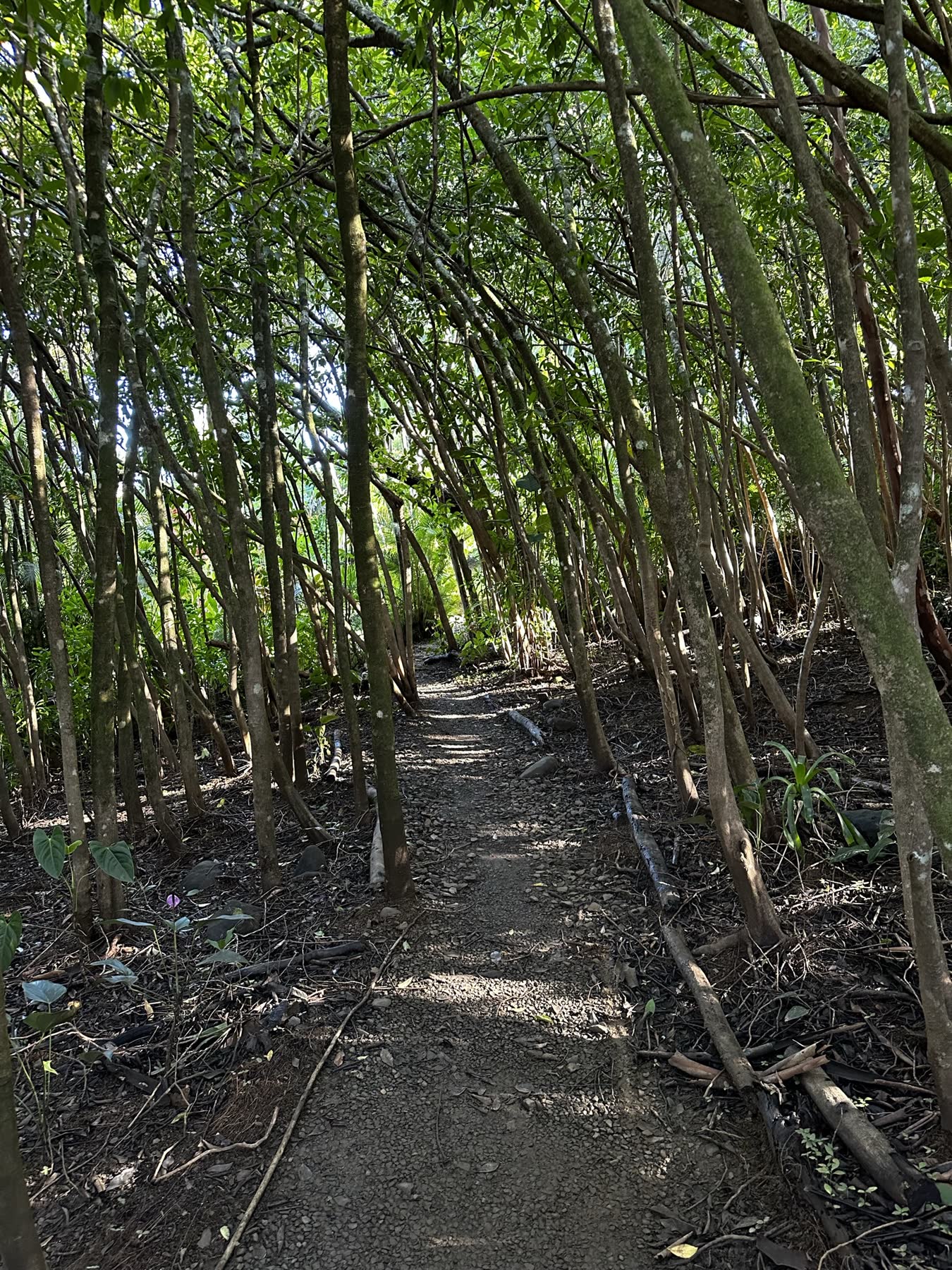
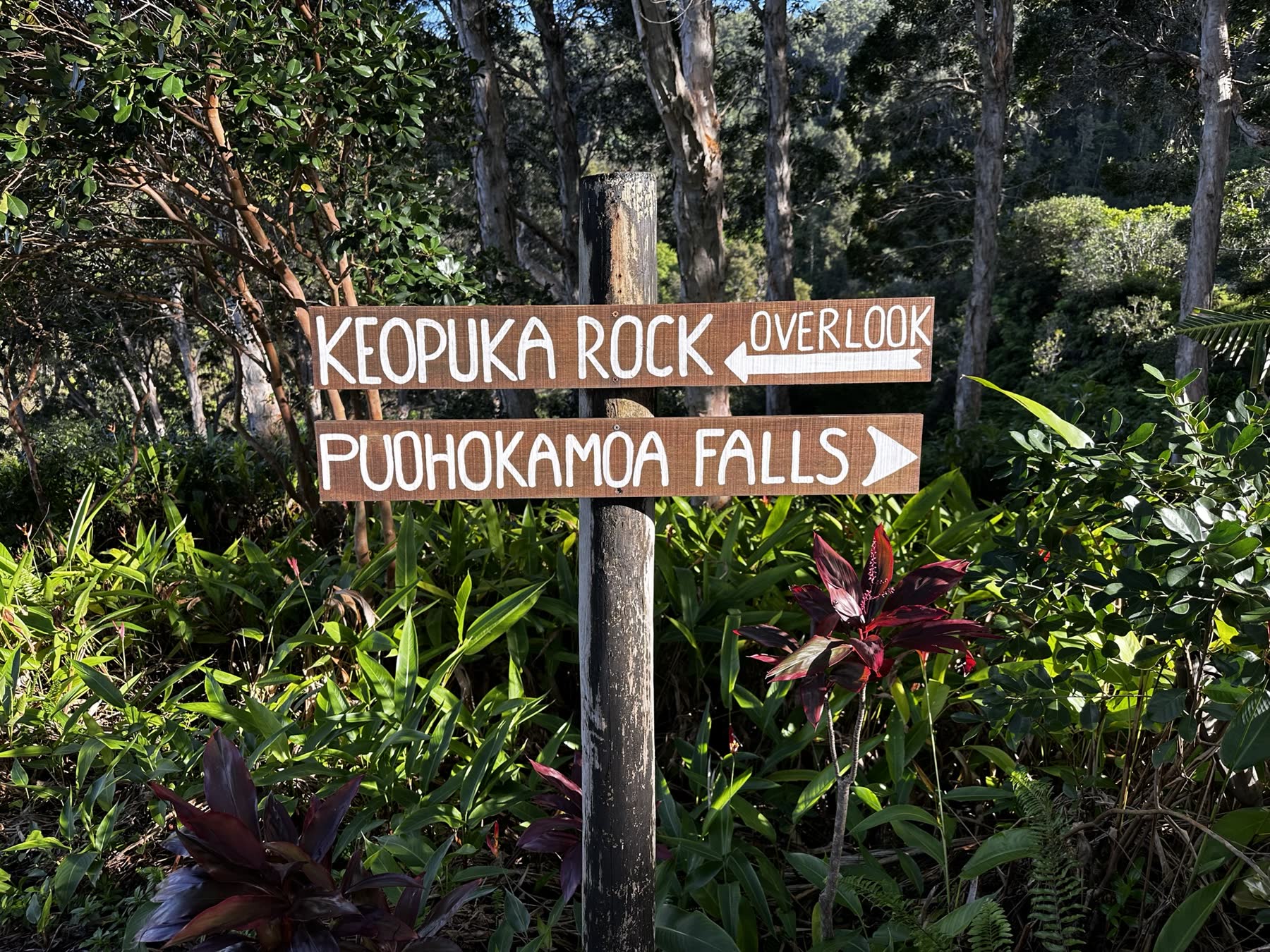
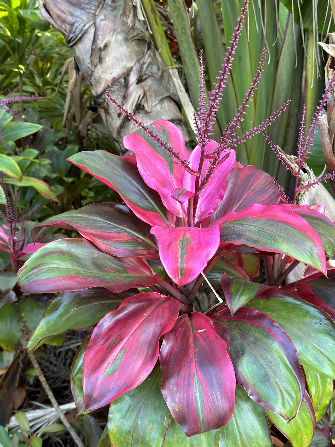
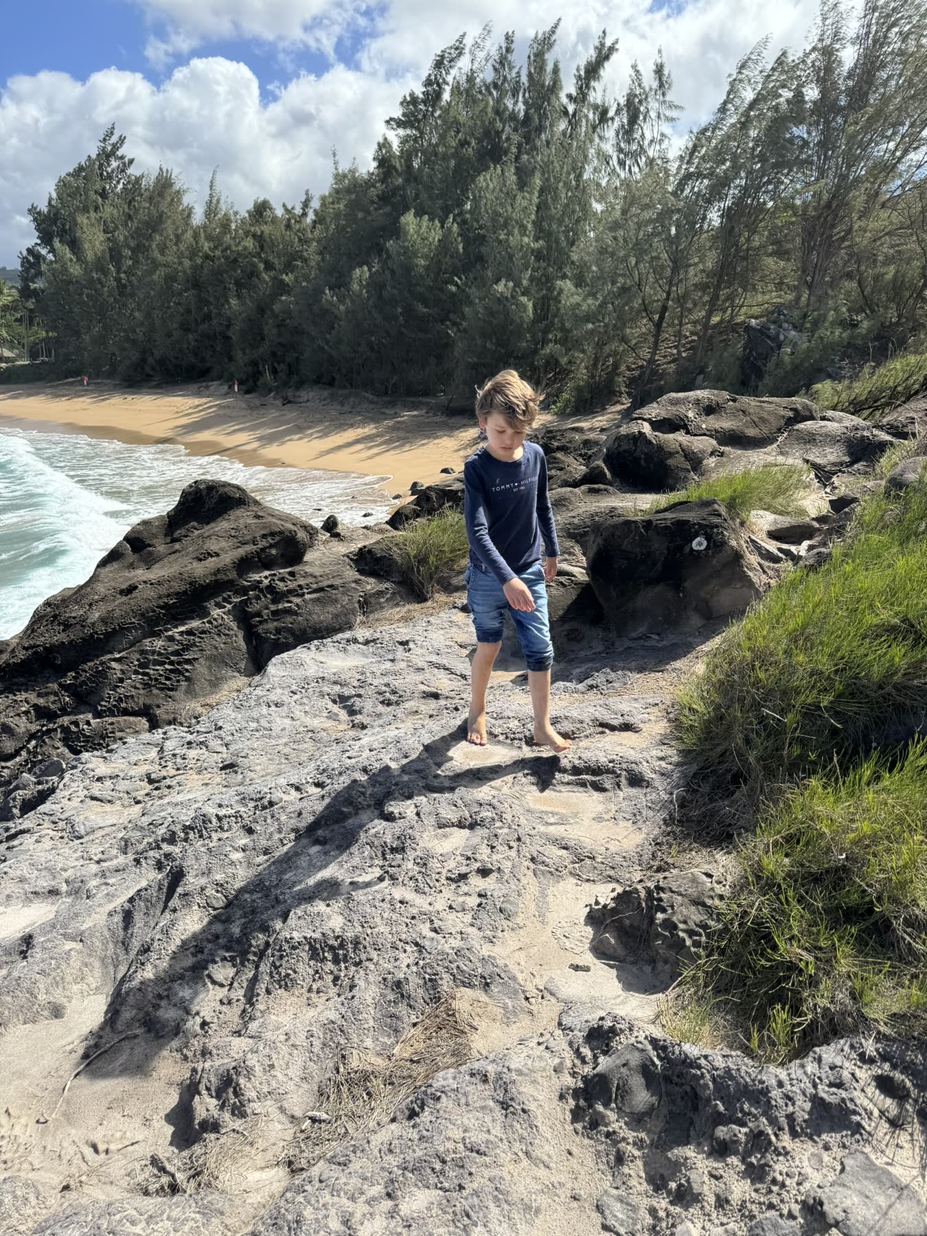
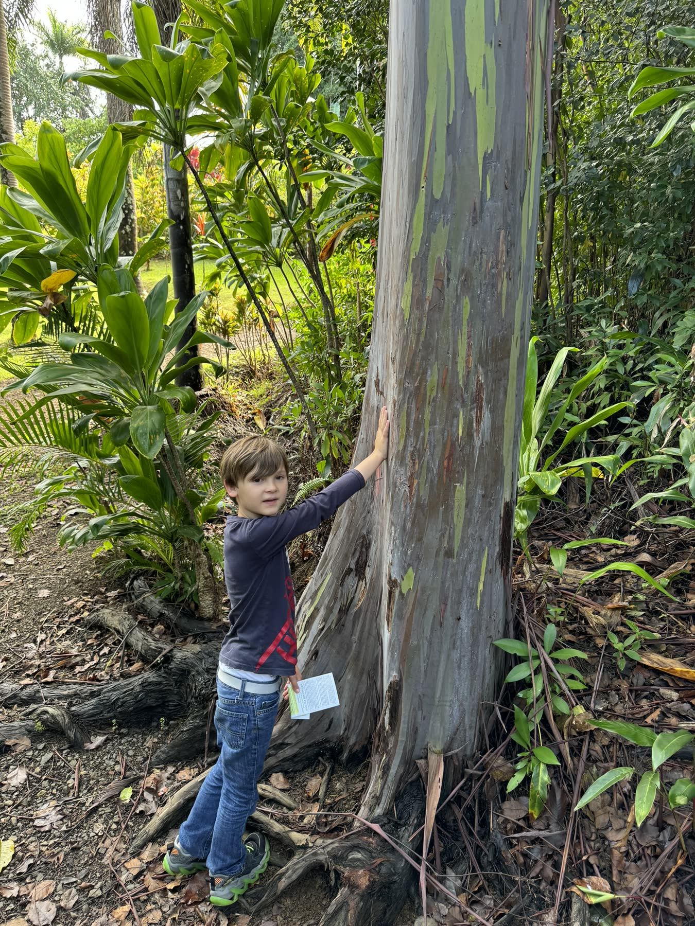
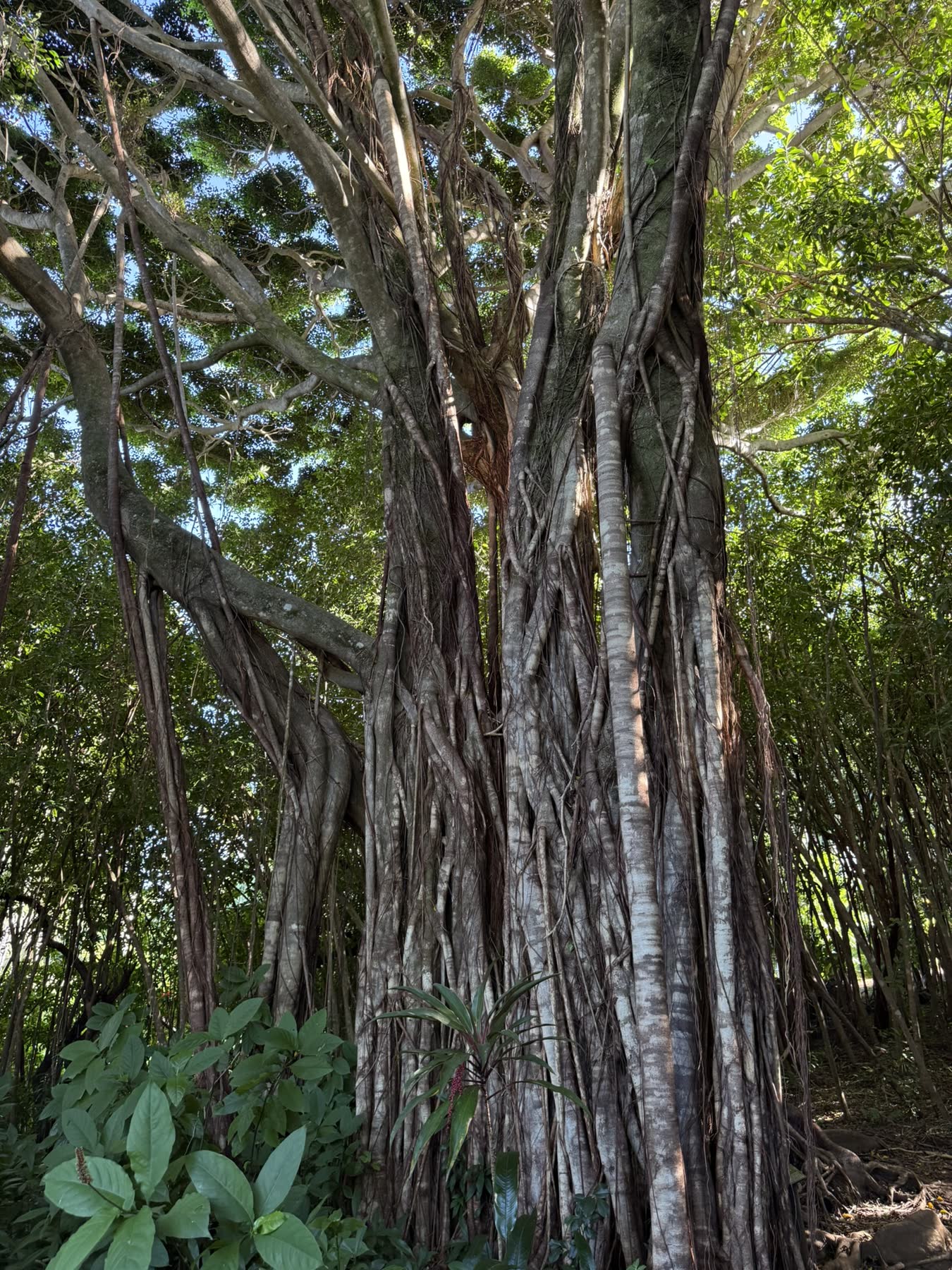
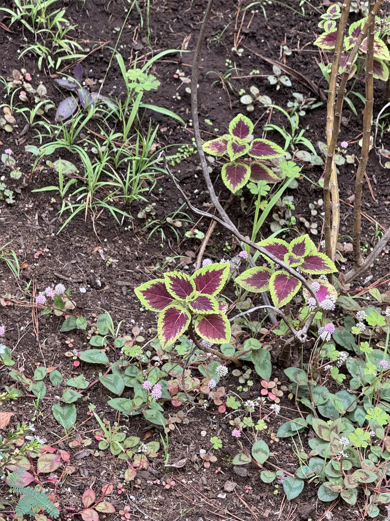
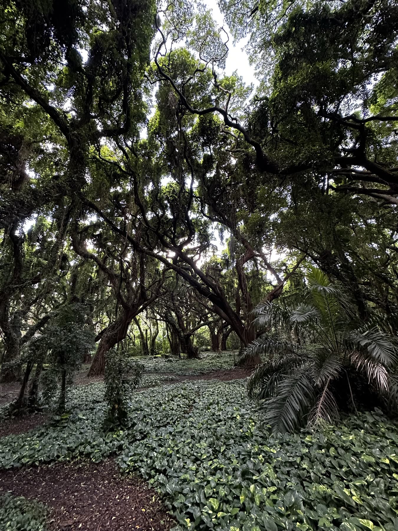
Down at sea level we walked the West Maui coast — lava shorelines and pounding surf around Kapalua — wandered the shaded forest and bamboo trails, and stood under the enormous banyan tree in Lahaina that shades a whole town square.
Photos
Maui — Haleakalā & the CoastMaui — Haleakalā & the CoastMaui — Haleakalā & the CoastMaui — Haleakalā & the CoastMaui — Haleakalā & the CoastMaui — Haleakalā & the CoastMaui — Haleakalā & the CoastMaui — Haleakalā & the CoastMaui — Haleakalā & the CoastMaui — Haleakalā & the CoastMaui — Haleakalā & the CoastMaui — Haleakalā & the CoastMaui — Haleakalā & the CoastMaui — Haleakalā & the CoastMaui — Haleakalā & the CoastMaui — Haleakalā & the CoastMaui — Haleakalā & the CoastMaui — Haleakalā & the CoastMaui — Haleakalā & the CoastMaui — Haleakalā & the CoastMaui — Haleakalā & the CoastMaui — Haleakalā & the CoastMaui — Haleakalā & the CoastMaui — Haleakalā & the CoastMaui — Haleakalā & the CoastMaui — Haleakalā & the CoastMaui — Haleakalā & the CoastMaui — Haleakalā & the CoastMaui — Haleakalā & the CoastMaui — Haleakalā & the CoastMaui — Haleakalā & the CoastMaui — Haleakalā & the CoastMaui — Haleakalā & the CoastMaui — Haleakalā & the CoastMaui — Haleakalā & the CoastMaui — Haleakalā & the CoastMaui — Haleakalā & the CoastMaui — Haleakalā & the CoastMaui — Haleakalā & the CoastMaui — Haleakalā & the CoastMaui — Haleakalā & the CoastMaui — Haleakalā & the CoastMaui — Haleakalā & the CoastMaui — Haleakalā & the CoastMaui — Haleakalā & the CoastMaui — Haleakalā & the CoastMaui — Haleakalā & the CoastMaui — Haleakalā & the Coast