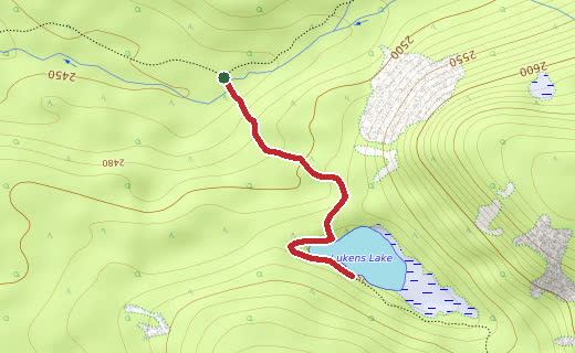
Contours, elevations and trails from OpenTopoMap. Scroll down for the zoomable map.
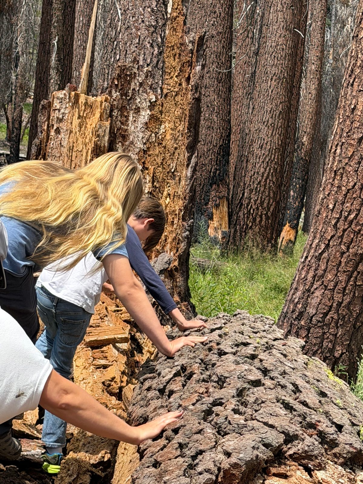
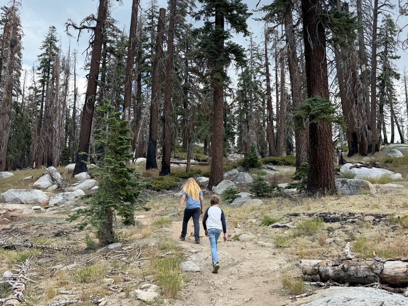
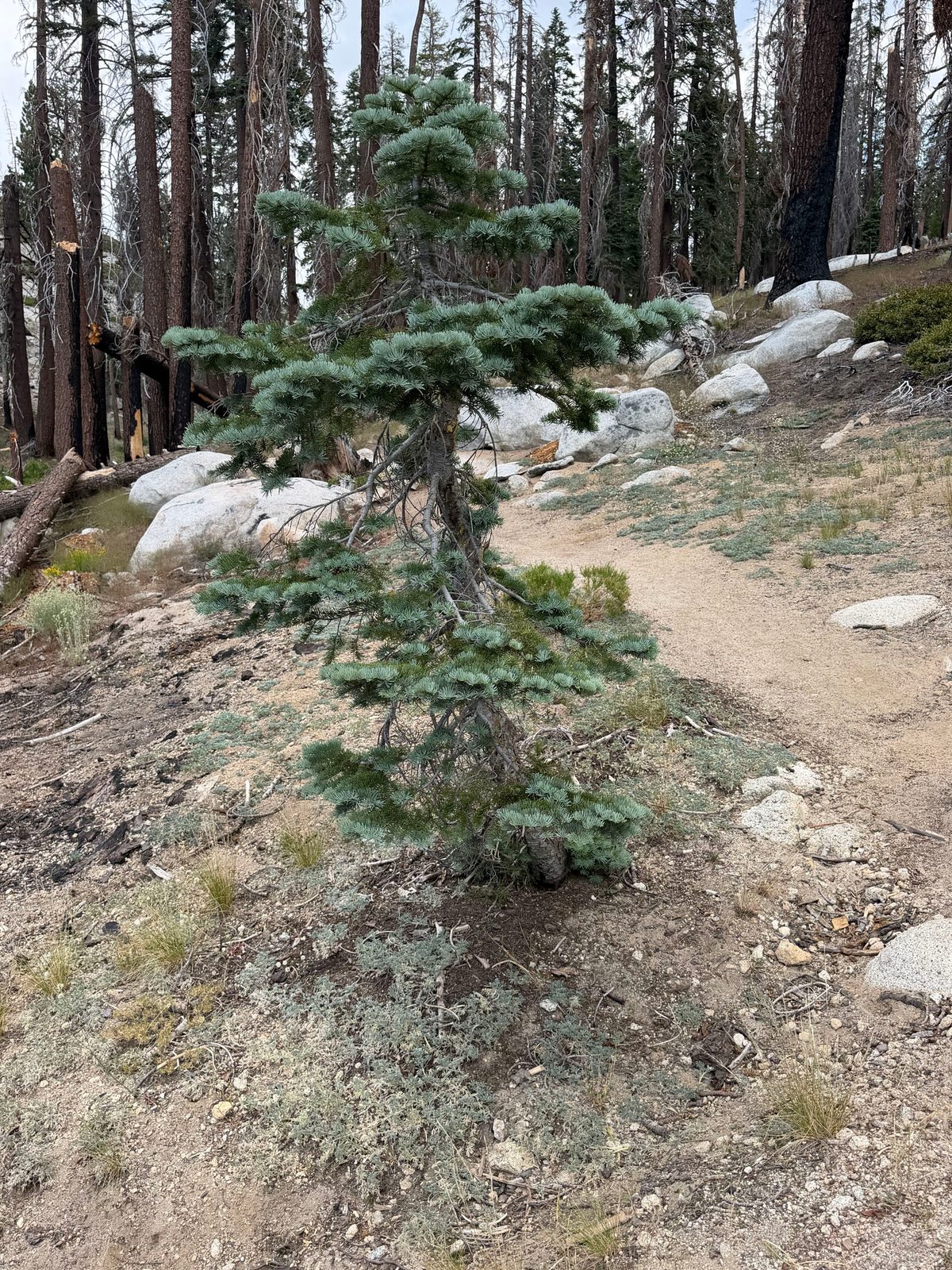
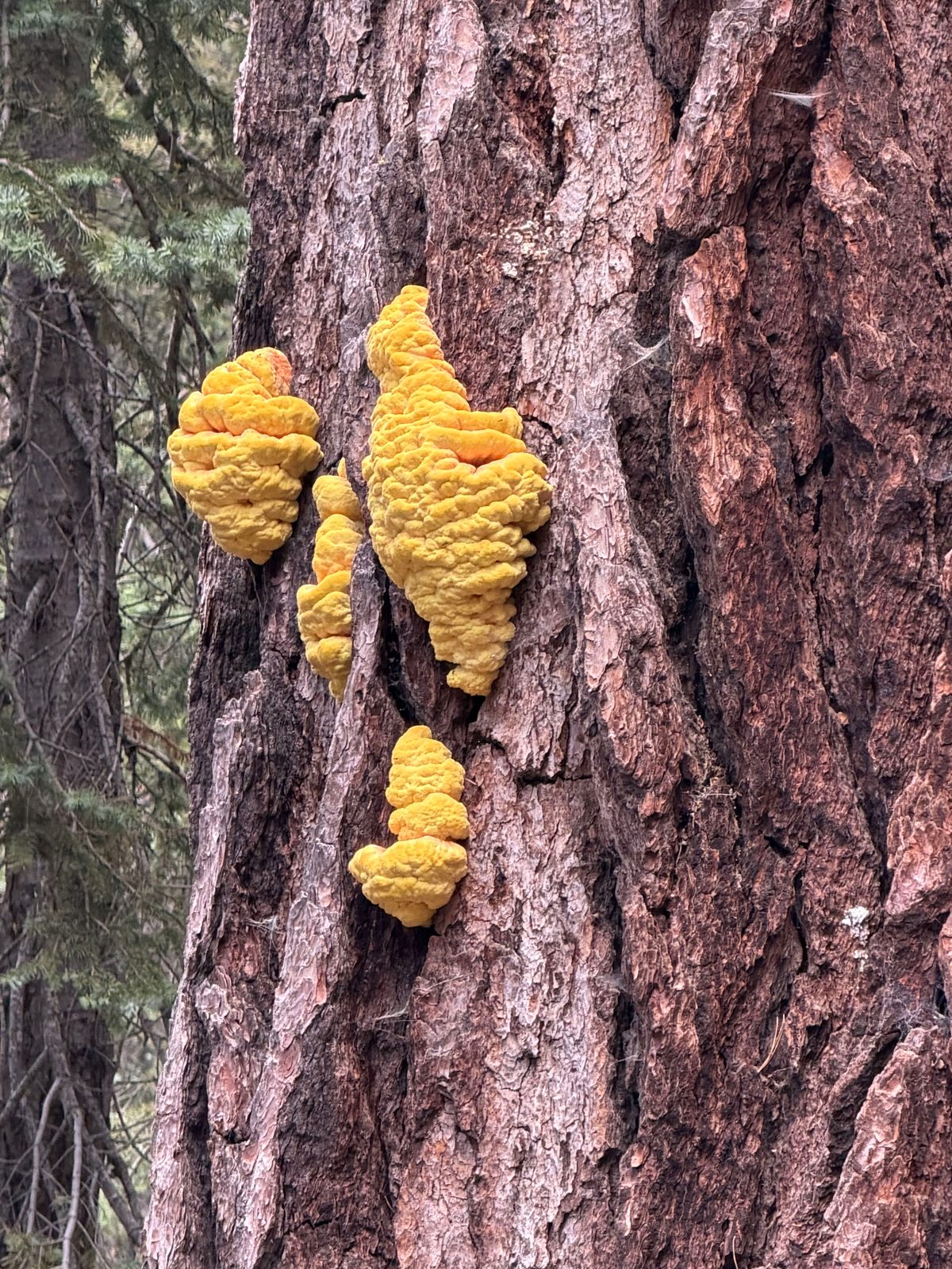
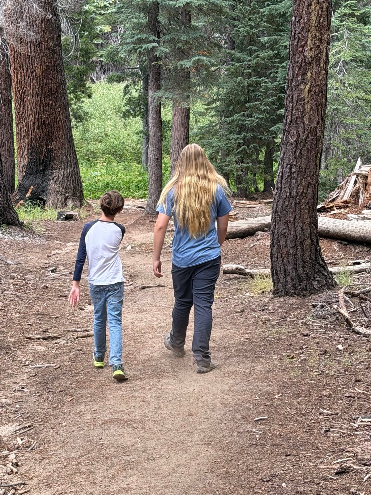
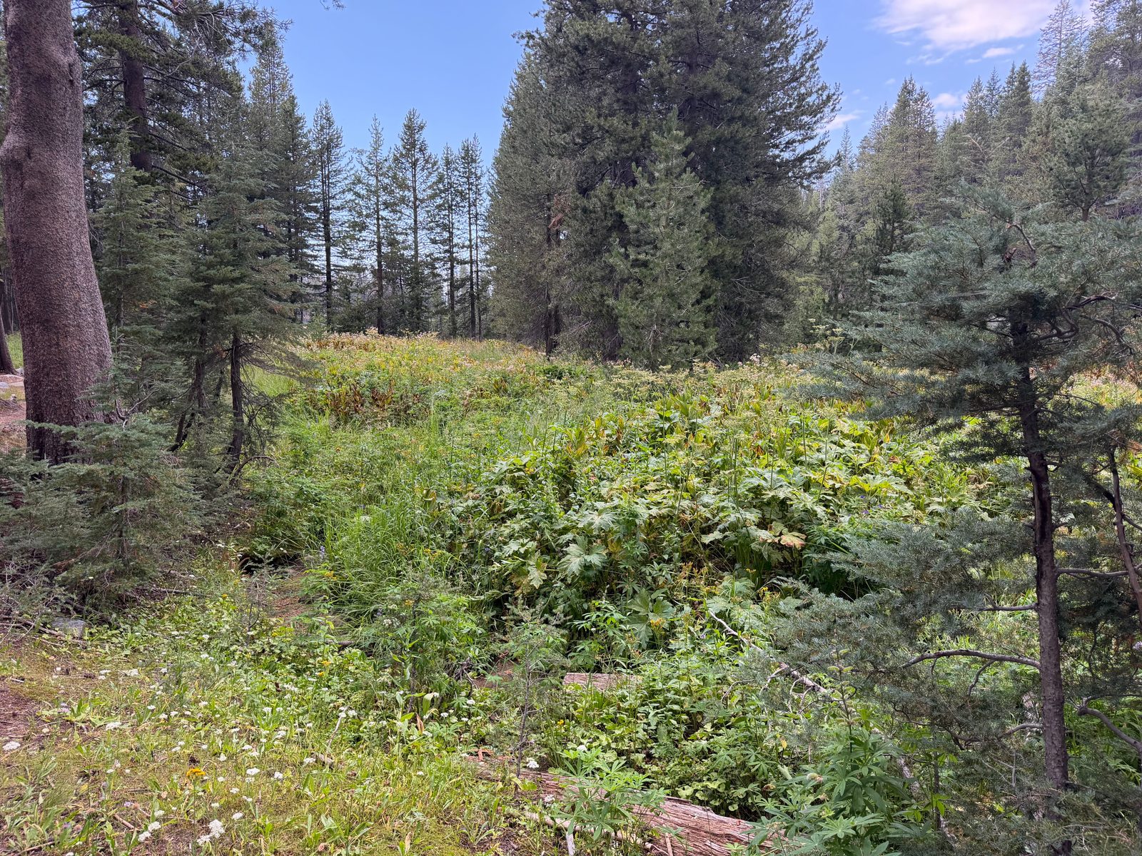
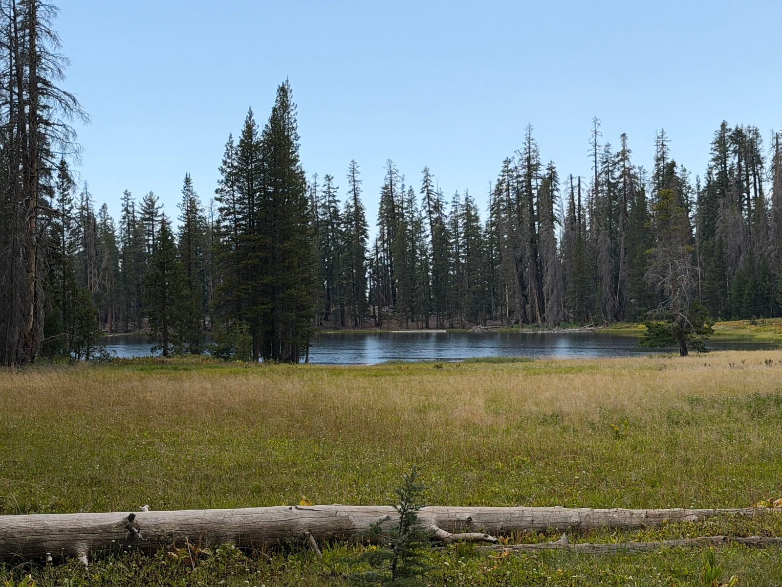
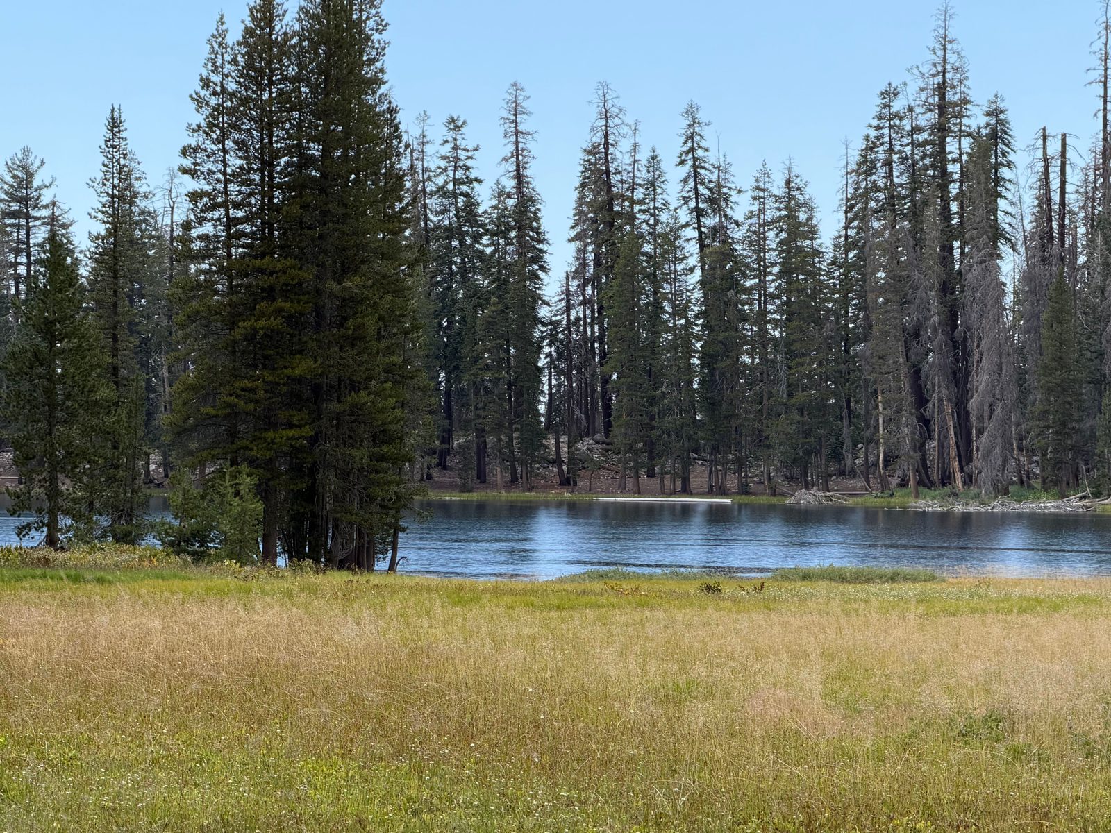
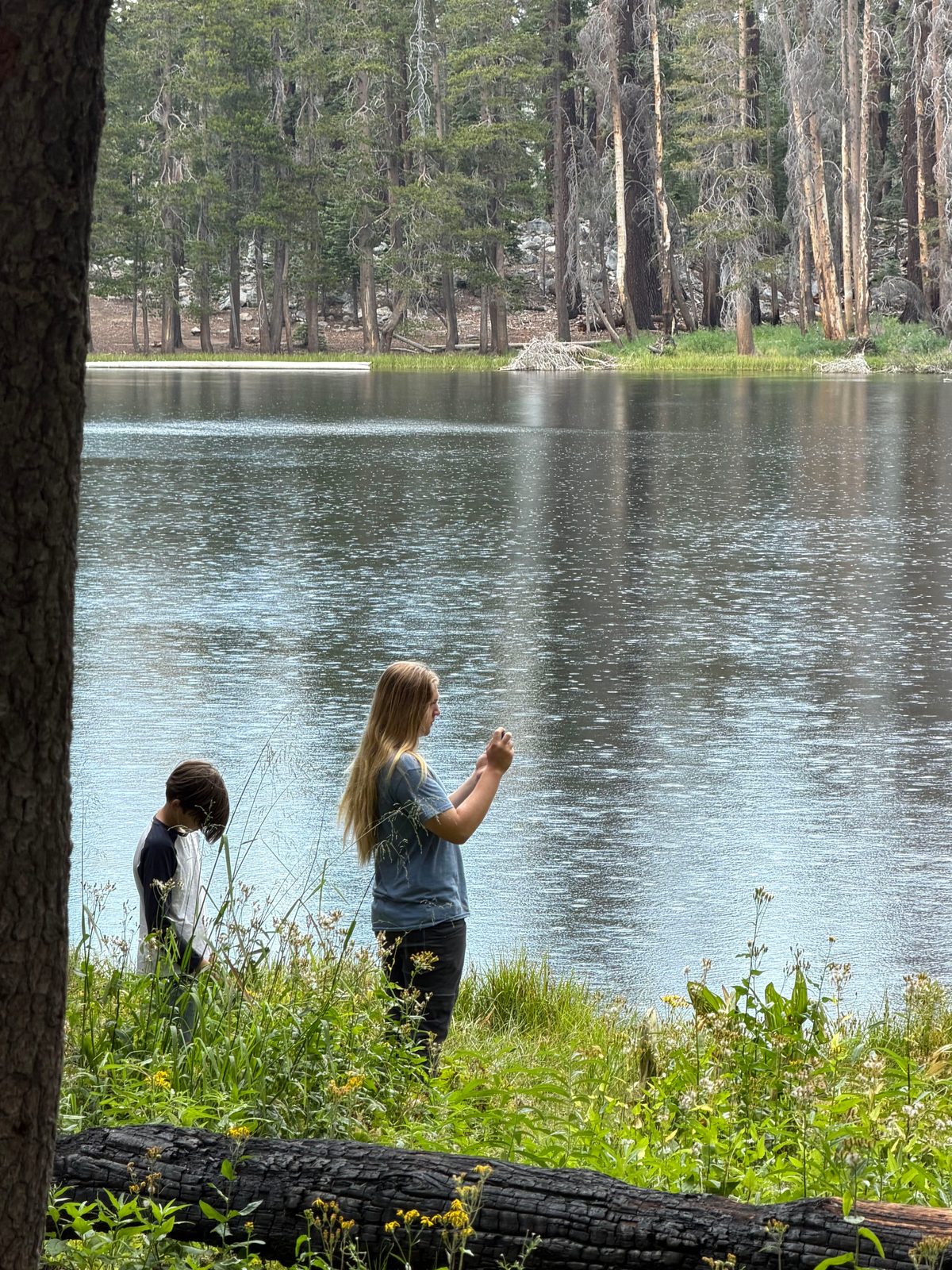
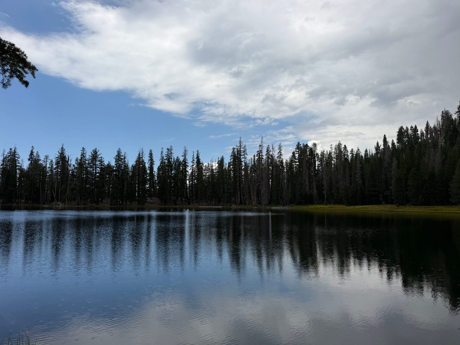
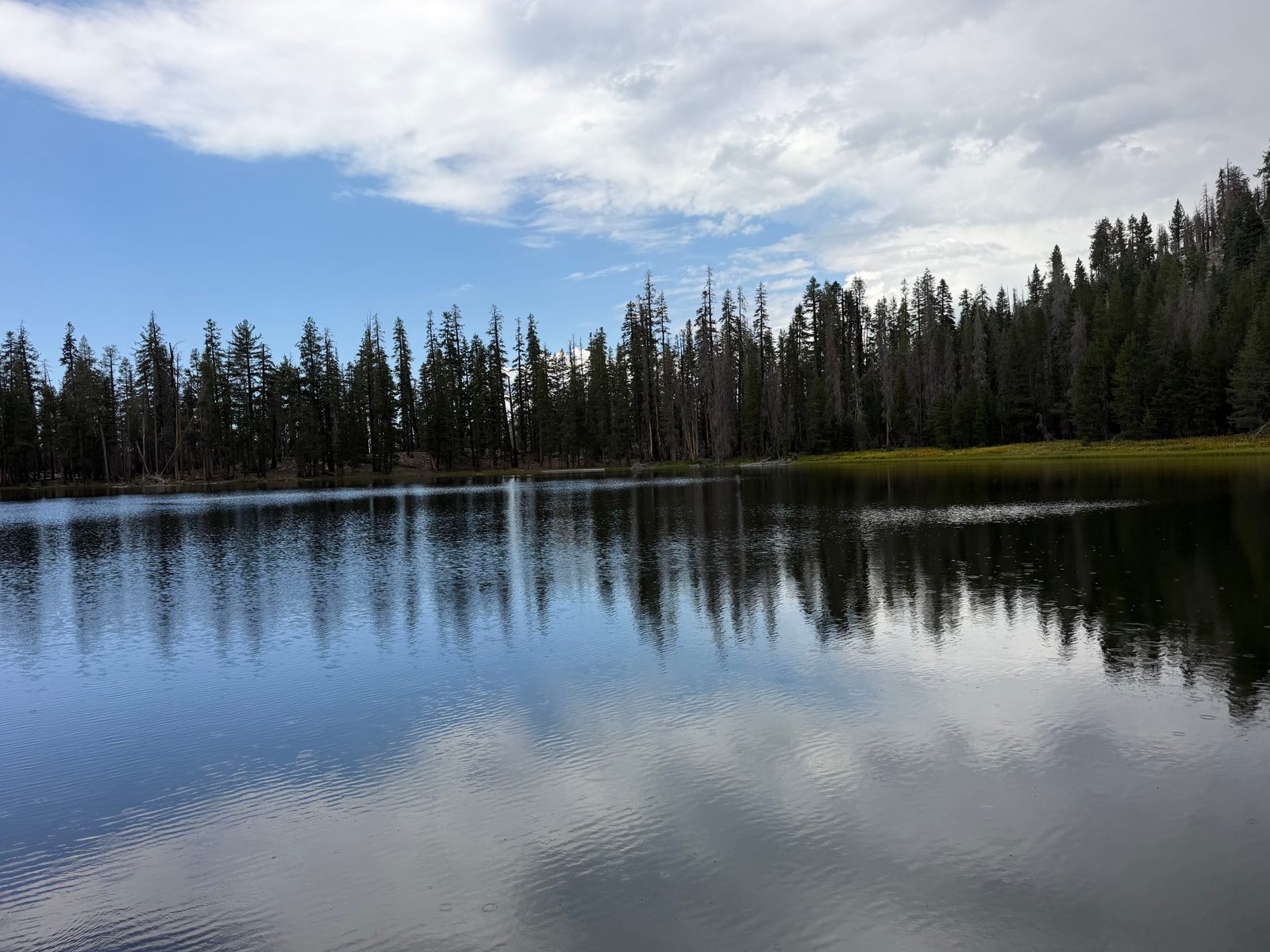
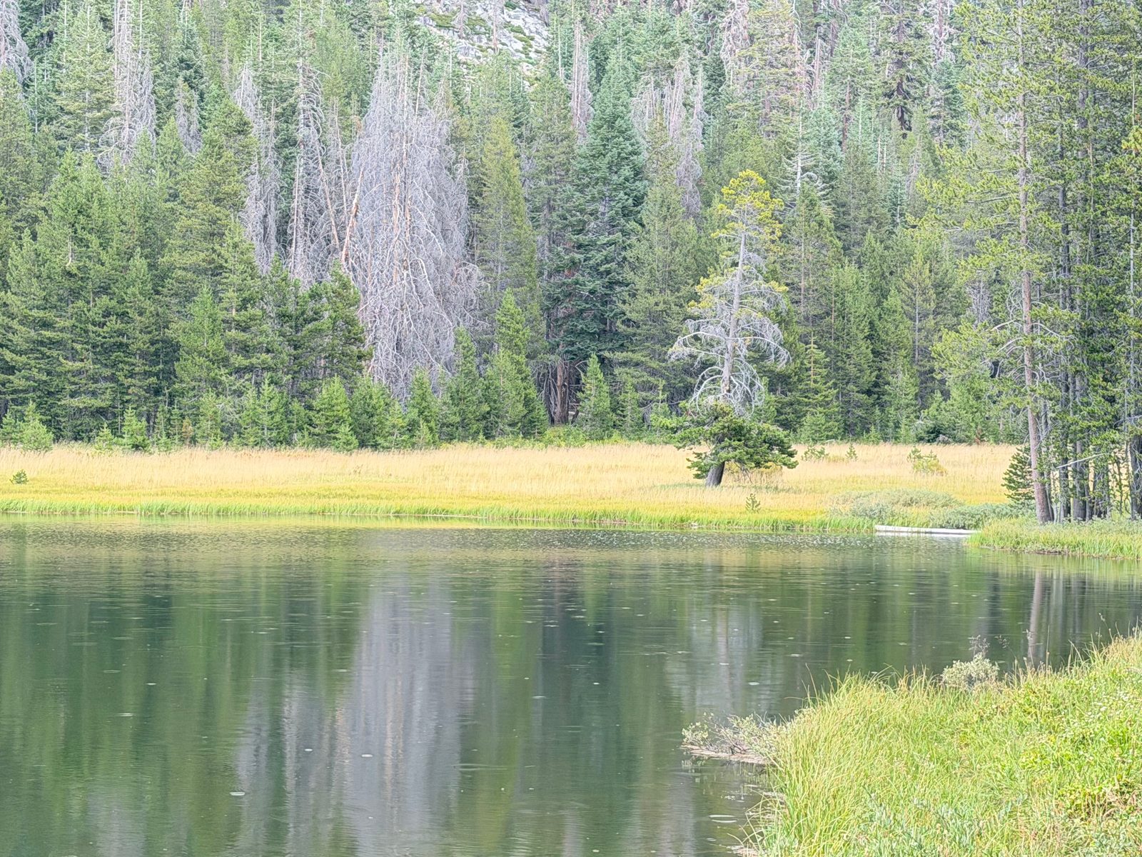
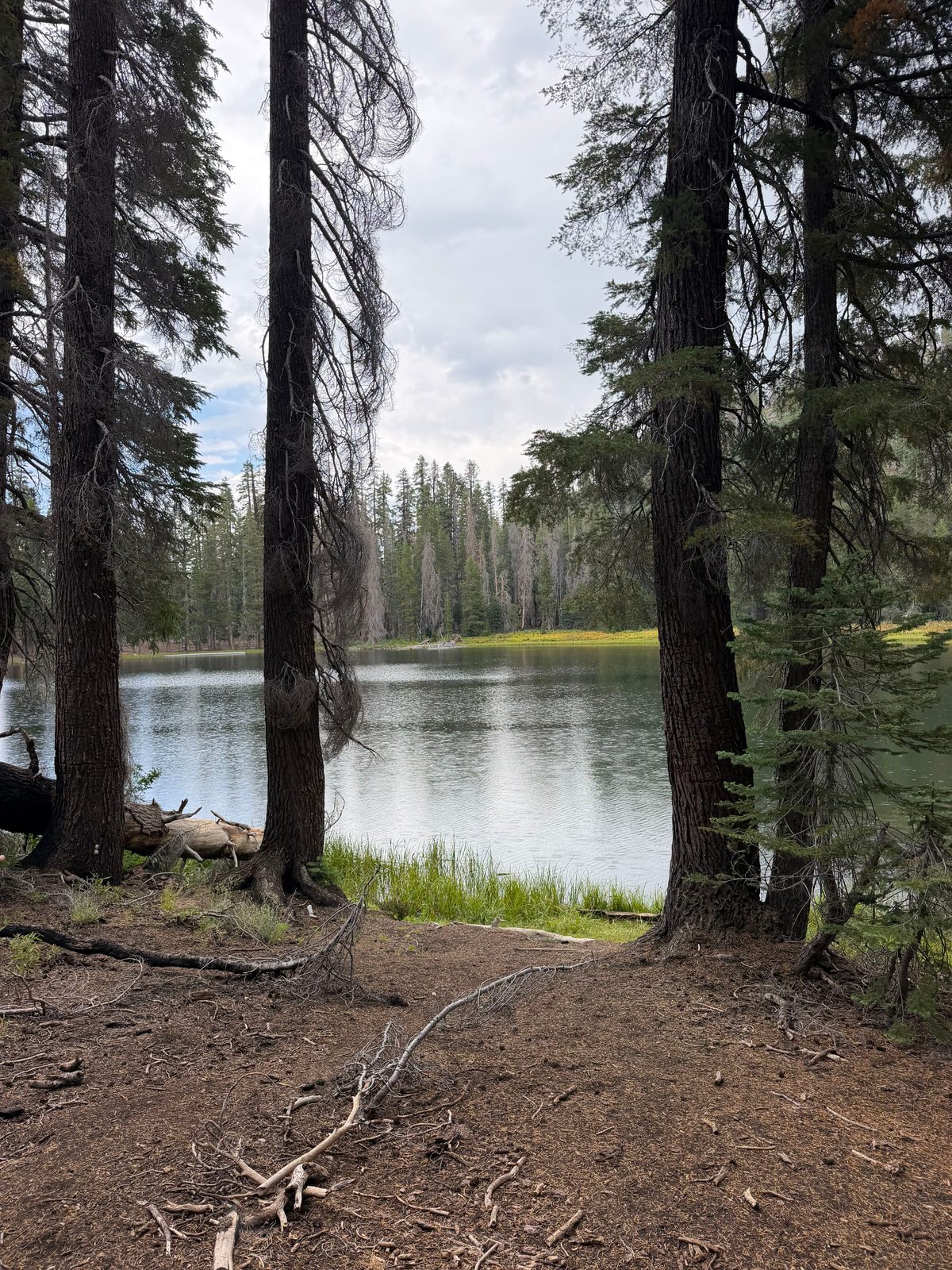
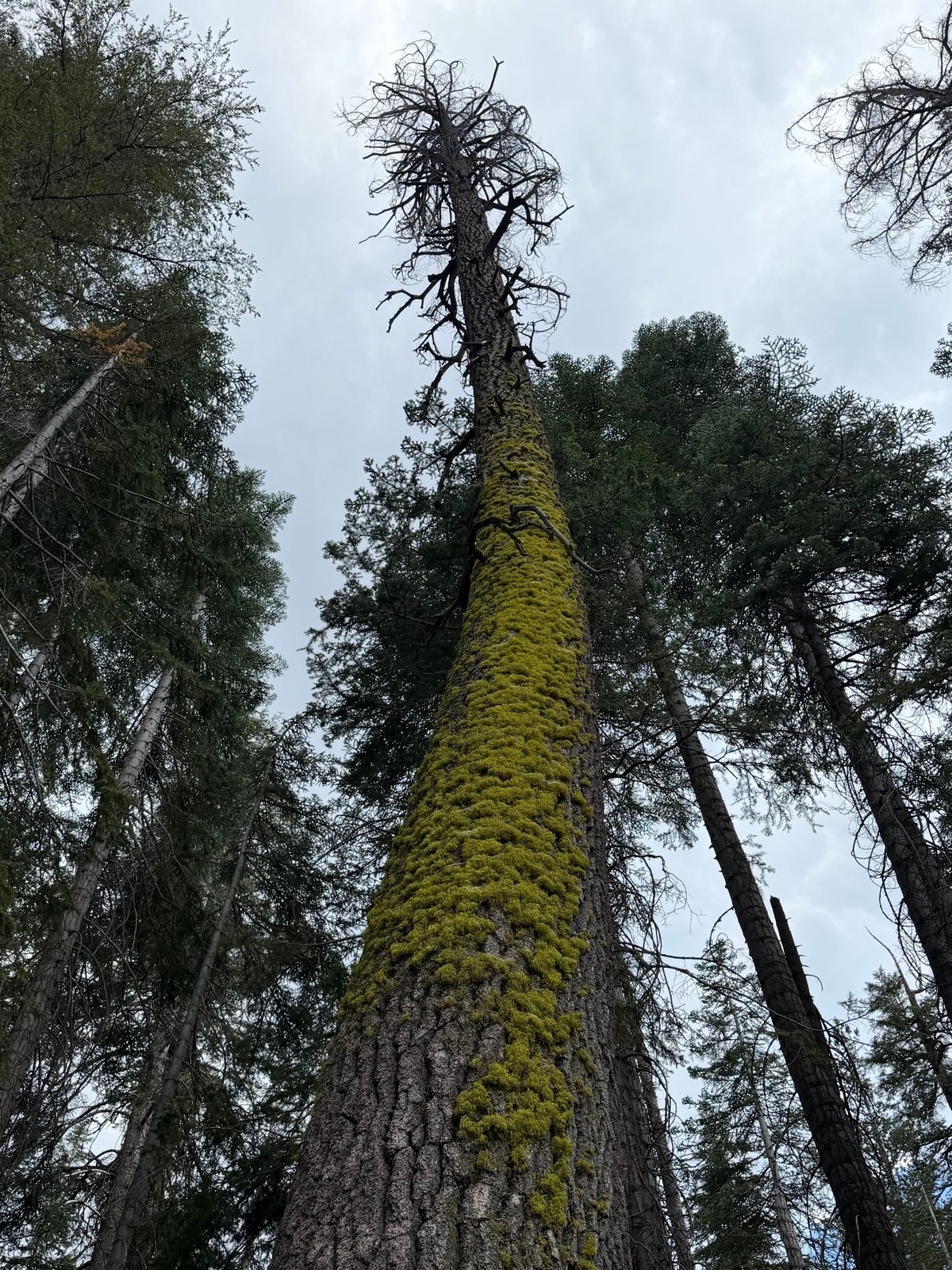
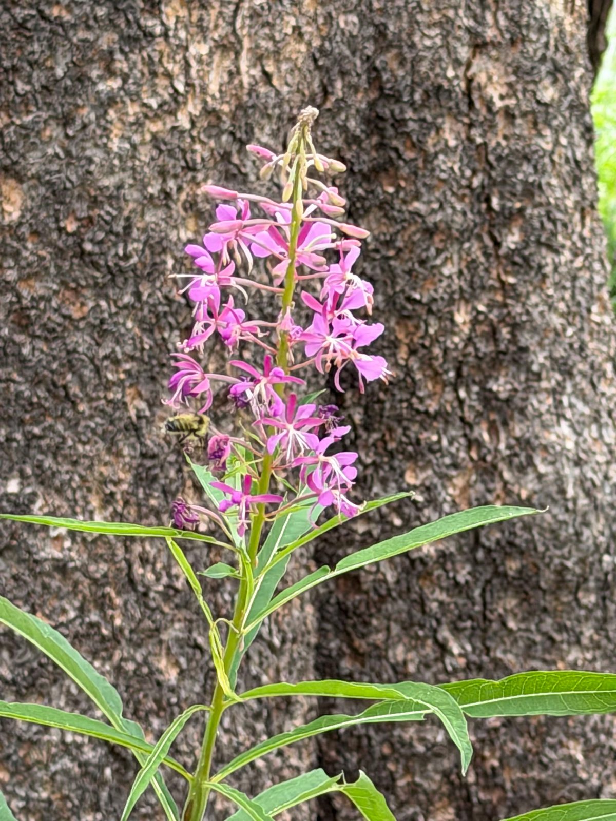
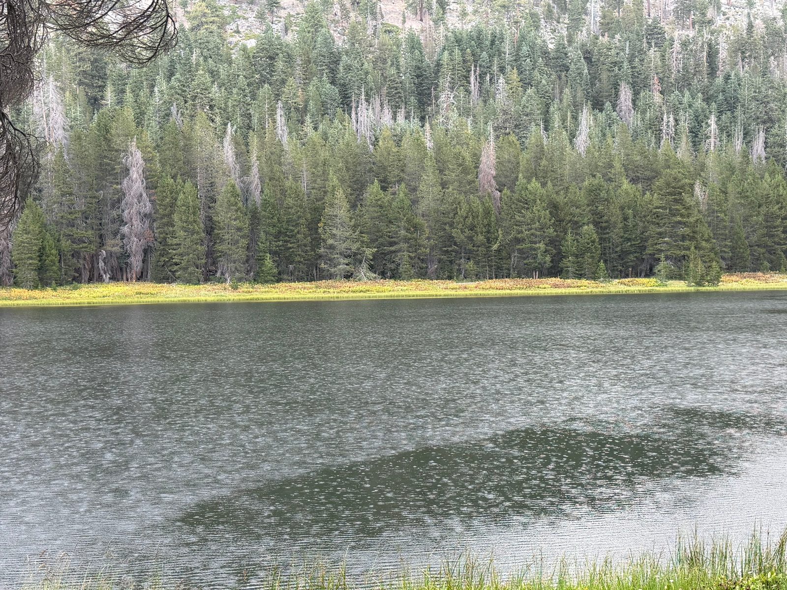
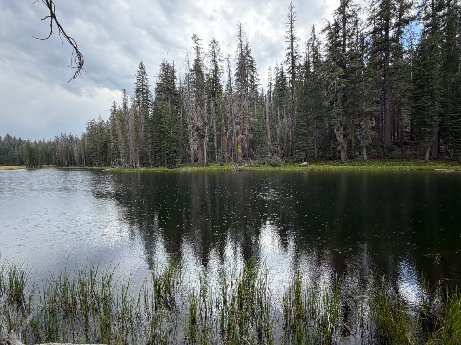
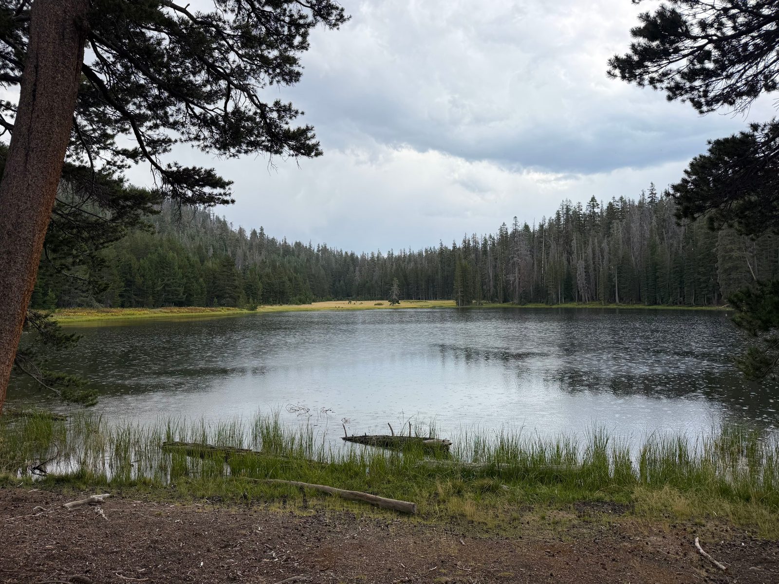
Lukens Lake sits in Yosemite's Tioga Road high country, a short, gentle walk through subalpine forest to a wildflower-ringed lake at about 8,100 feet. Much of the surrounding forest still bears the scars of the 2013 Rim Fire, one of the largest wildfires in Sierra Nevada history, which burned through this stretch of the park — bright shelf fungus now grows on some of the standing dead trunks along the trail.
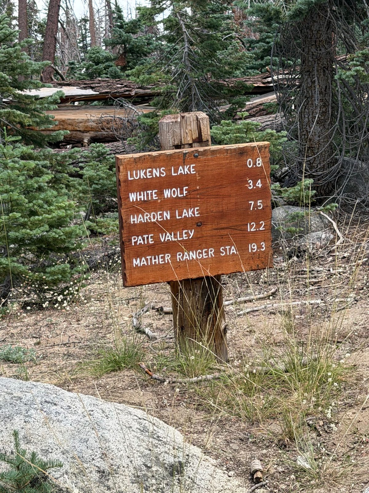
(The route drawn is the mapped Lukens Lake Trail centerline from the trailhead to the lake, not a recorded GPS track — the trailhead sign clocks it at 0.8 miles each way, matching the distance above.)