Lands End — the Coastal Trail
Golden Gate National Recreation Area · Lands End Coastal Trail · Lincoln Park · San Francisco

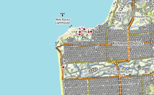
Contours, elevations and trails from OpenTopoMap. Scroll down for the zoomable map.
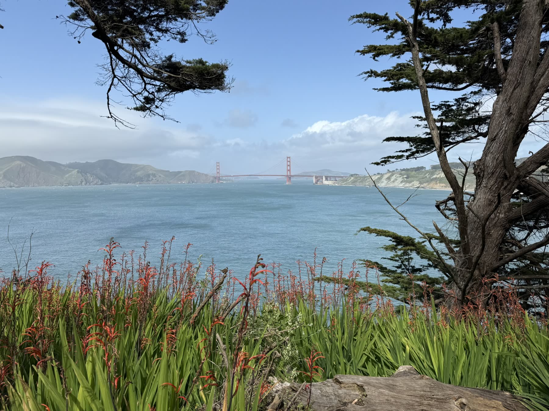
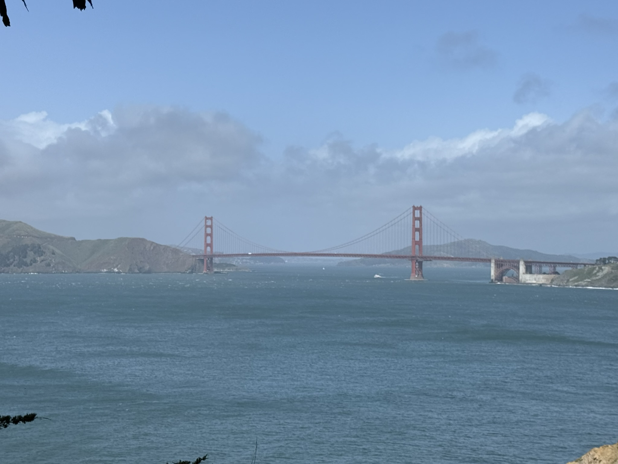
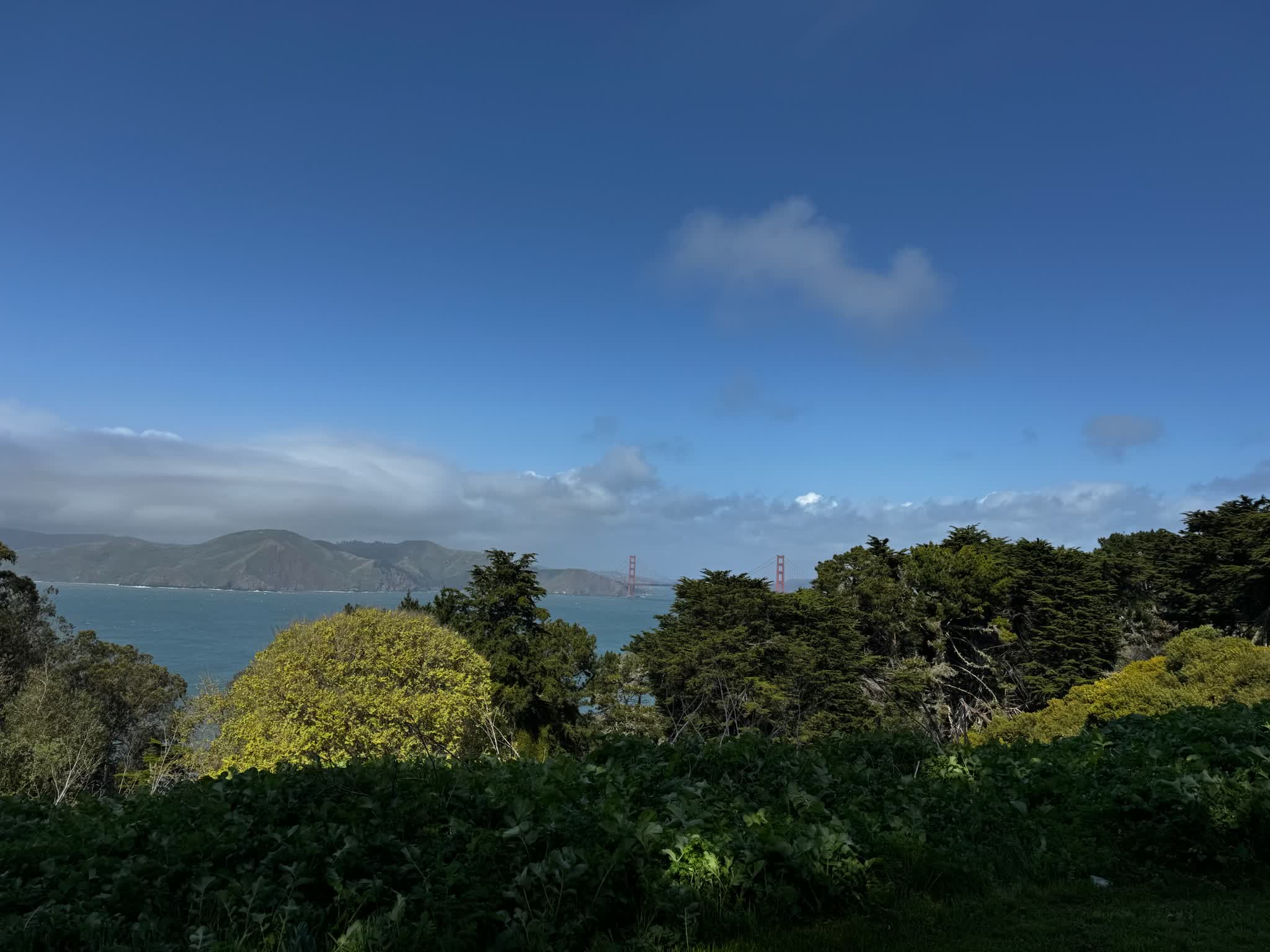
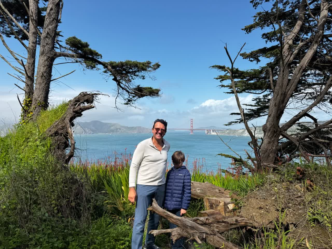
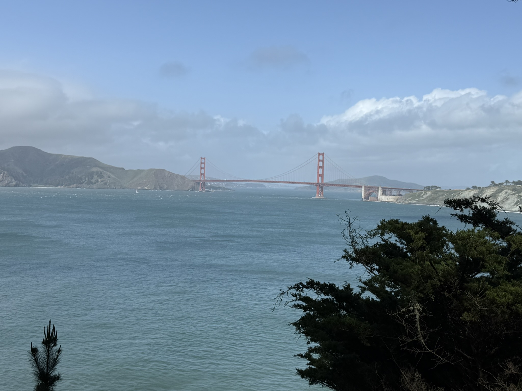
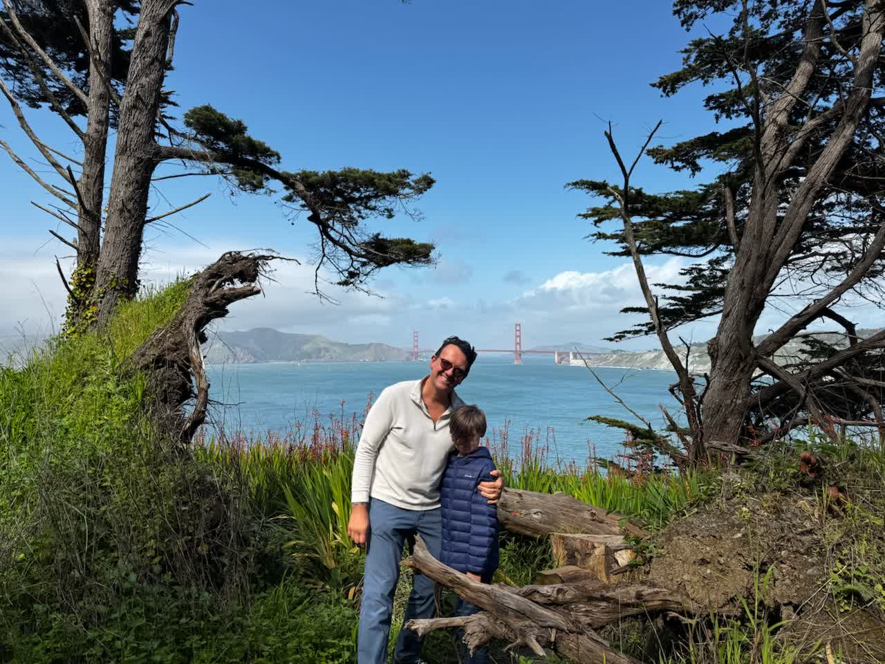
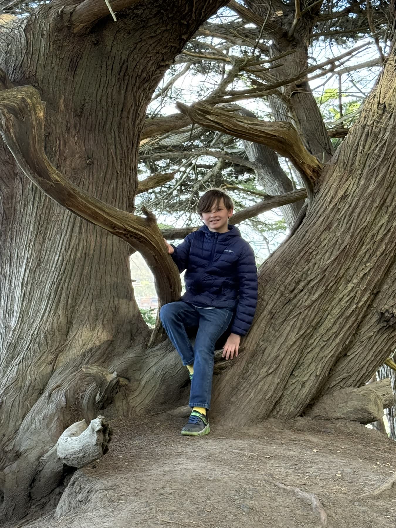
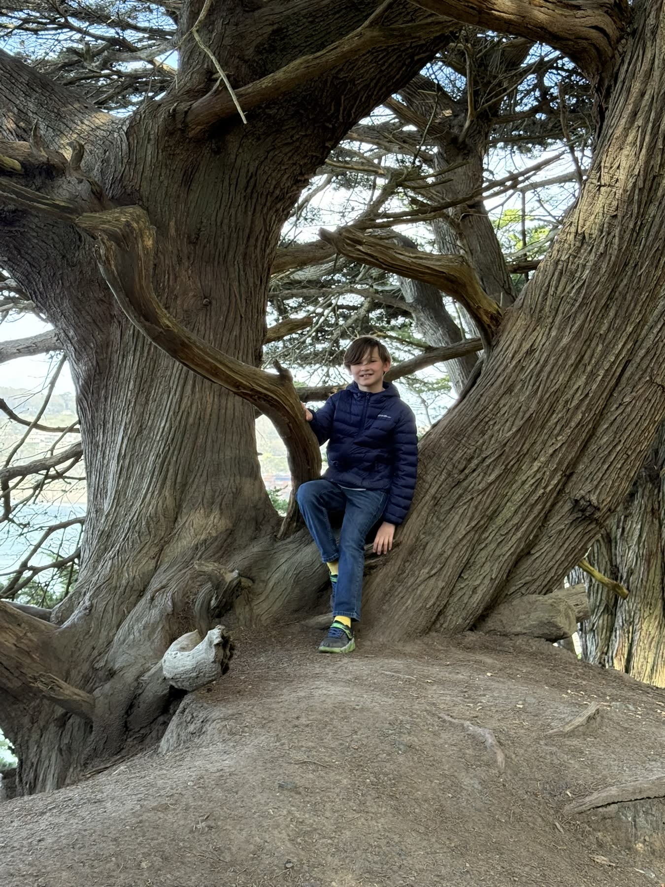
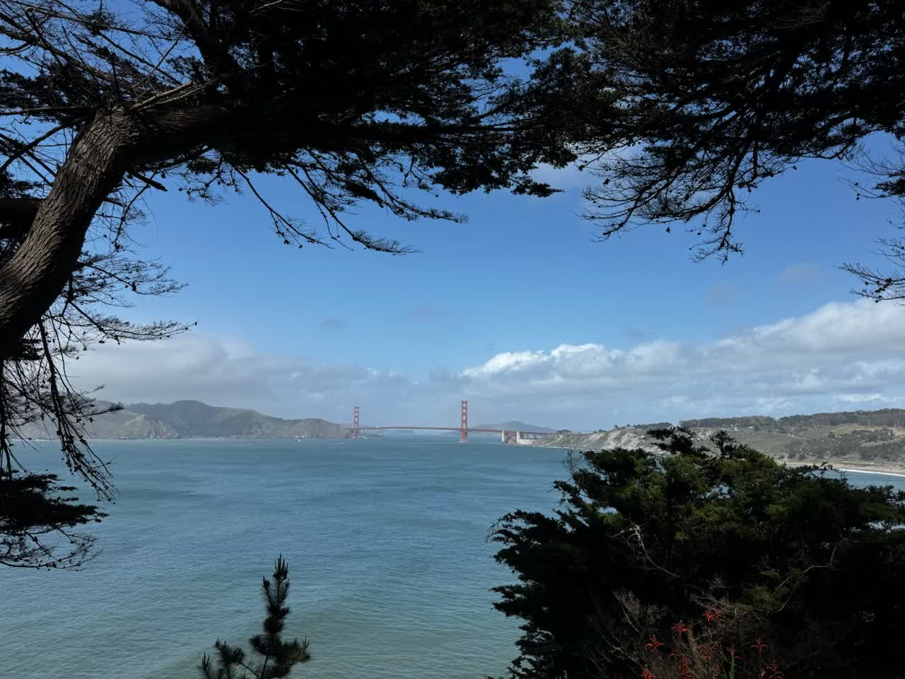
Lands End is the wind-bent northwest corner of San Francisco, where the Coastal Trail runs along bluffs above the Golden Gate through stands of Monterey cypress. The headland is a ships' graveyard — a dozen wrecks lie in the surf below — and the trail threads past the ruins of the Sutro Baths toward Eagle's Point, with the bridge and the Marin Headlands filling the view the whole way.
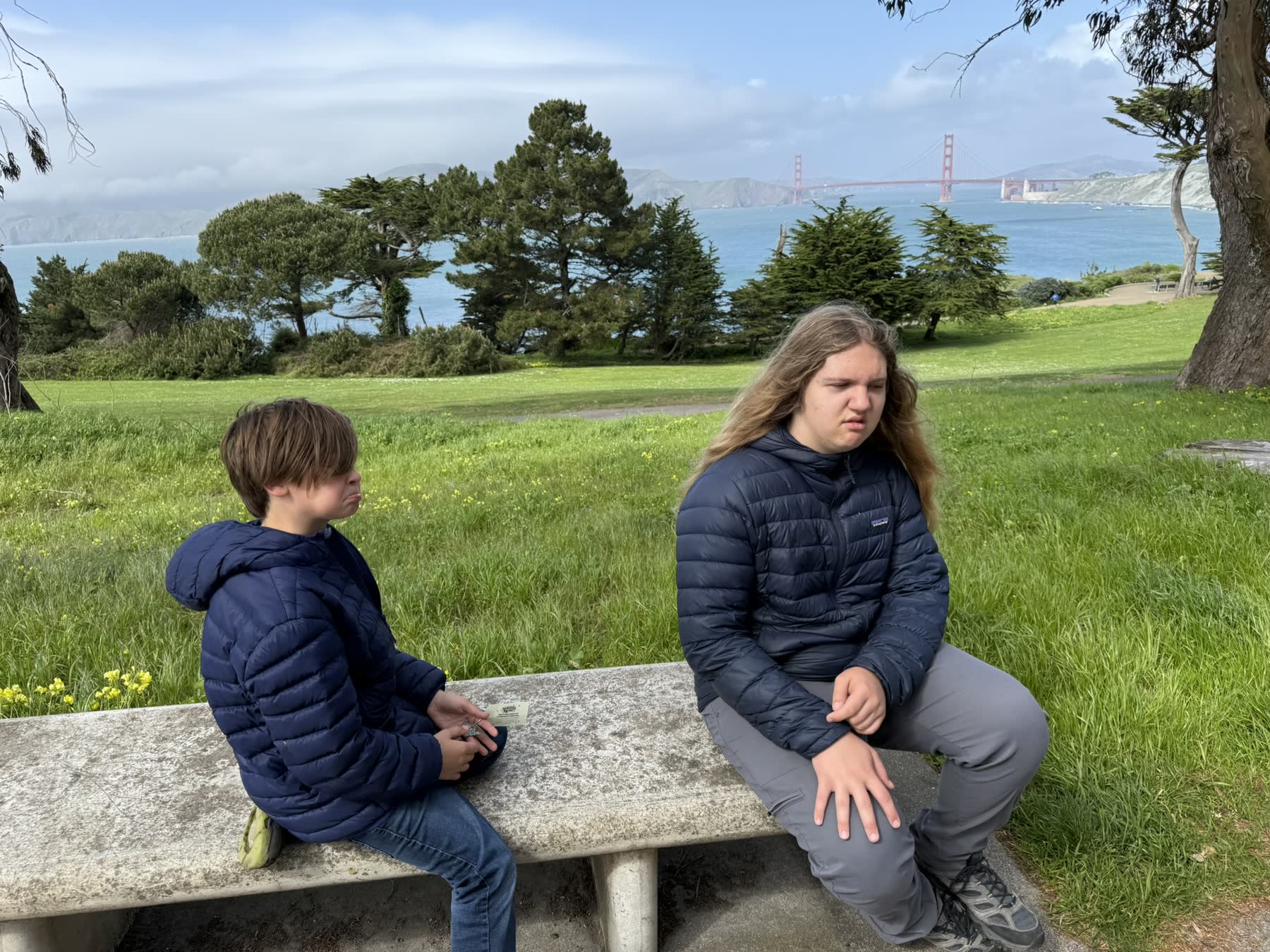
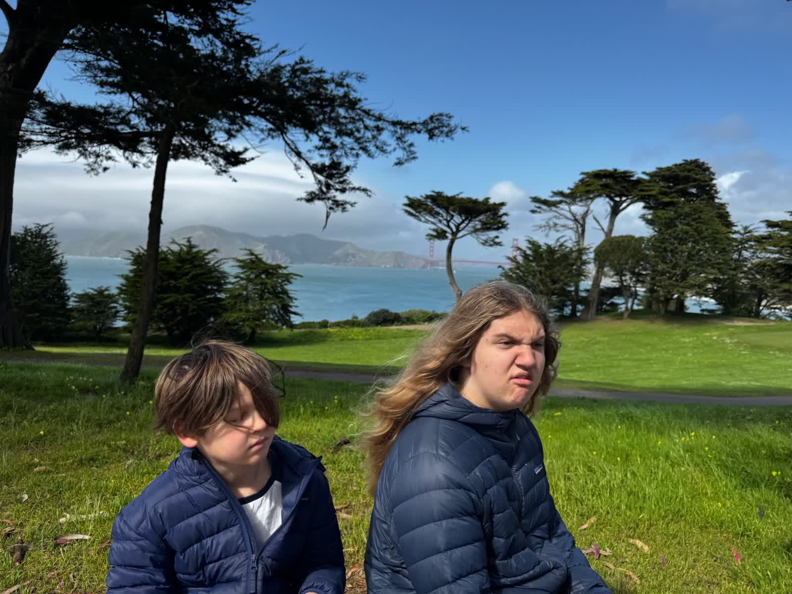
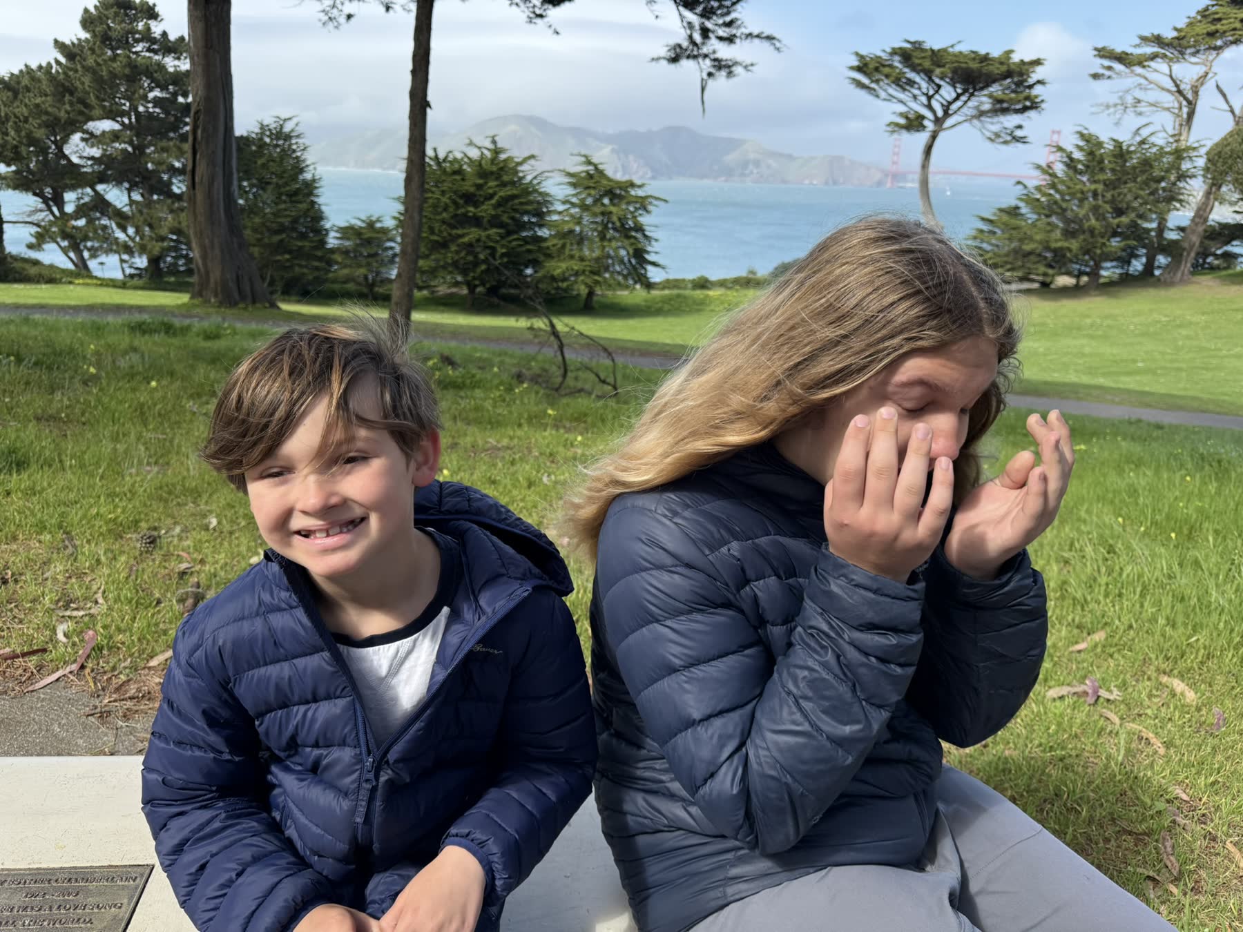
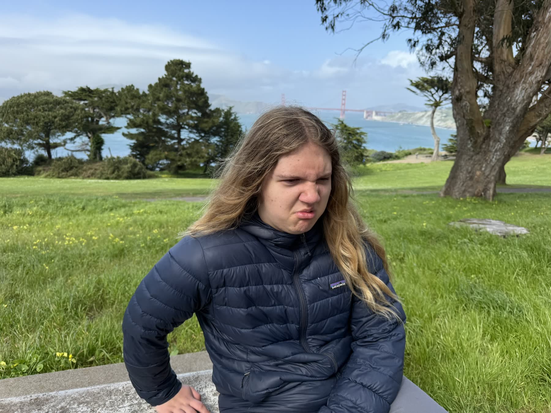
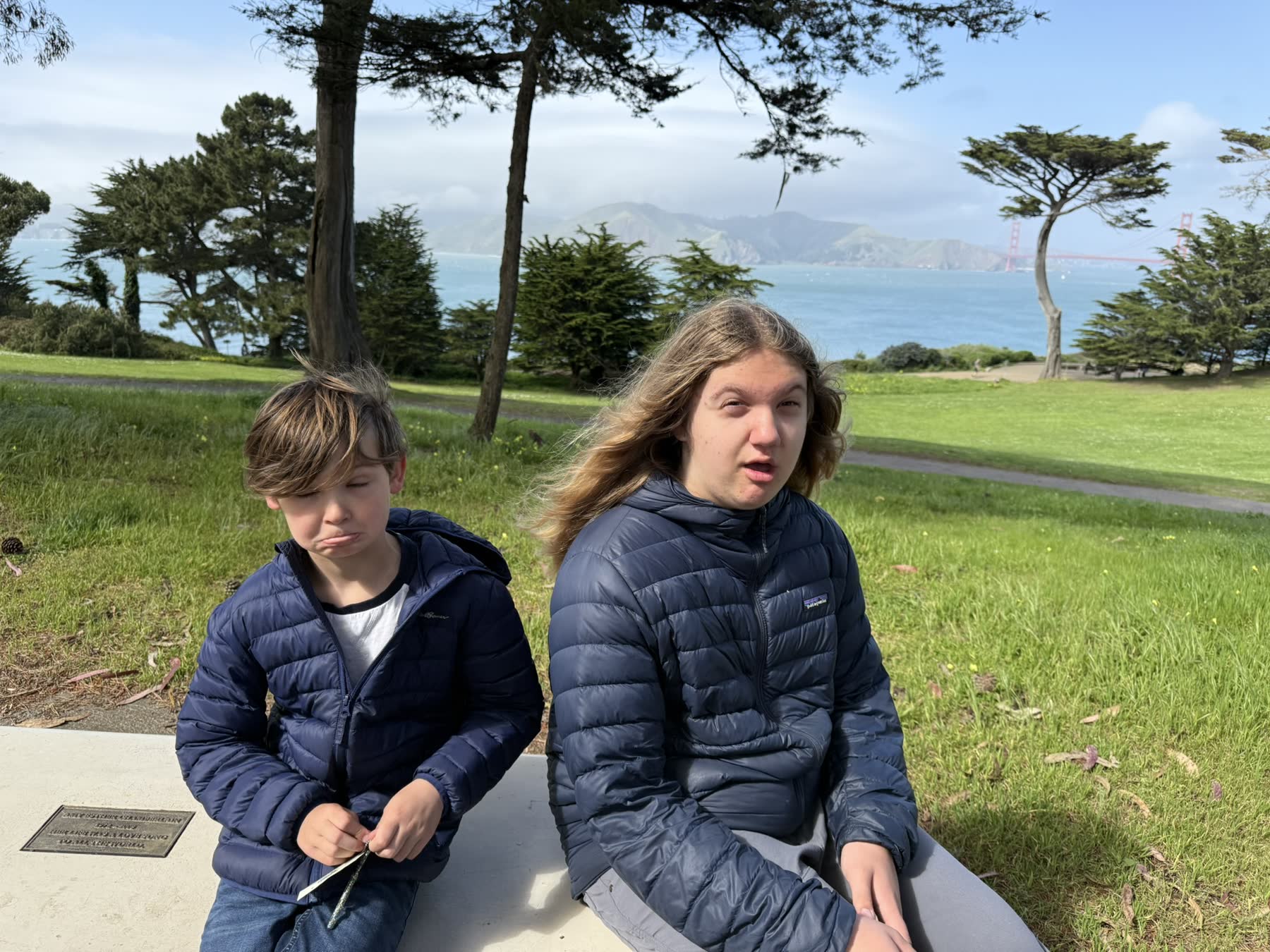
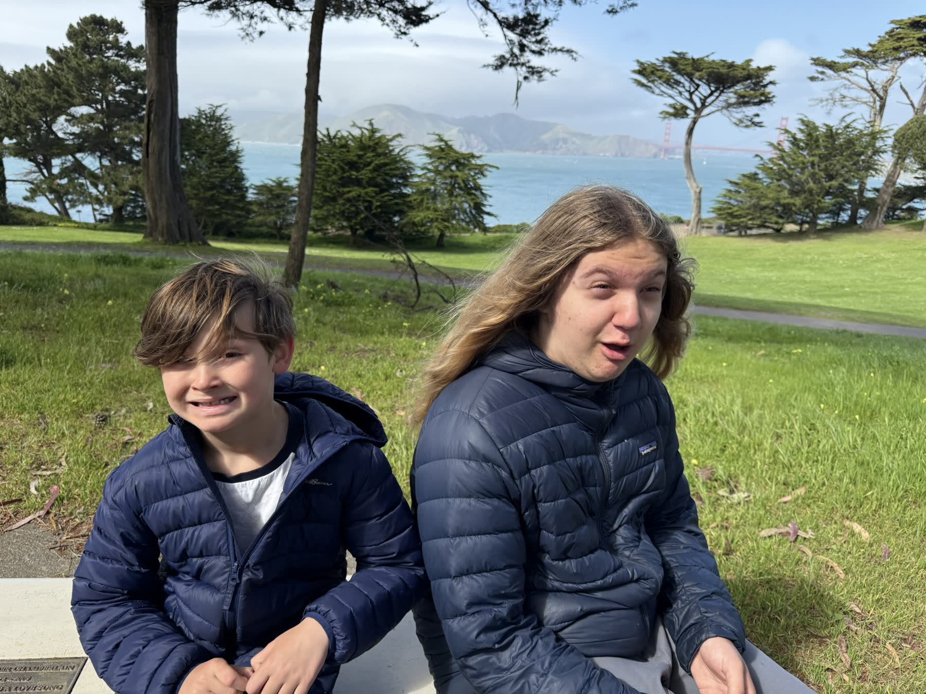
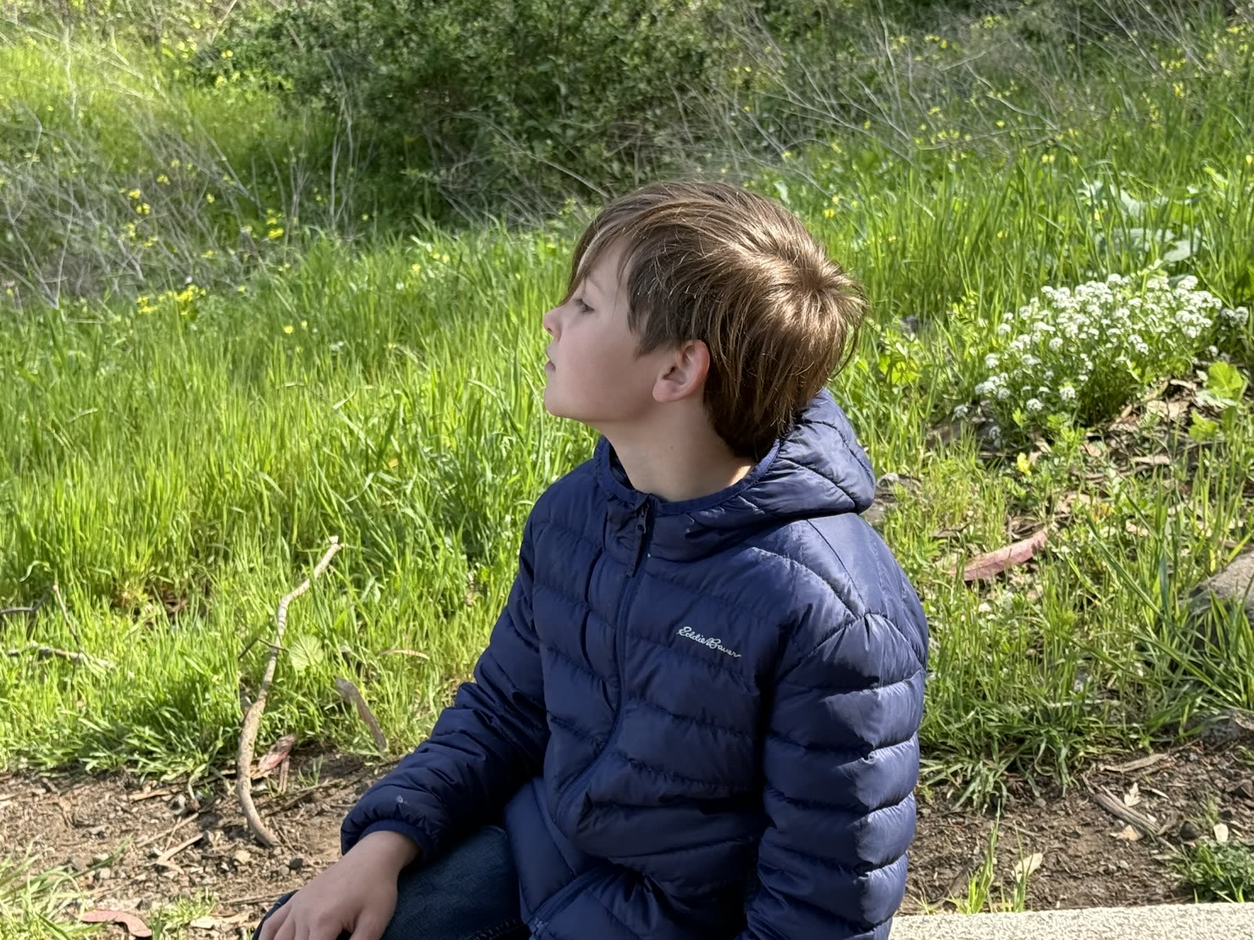
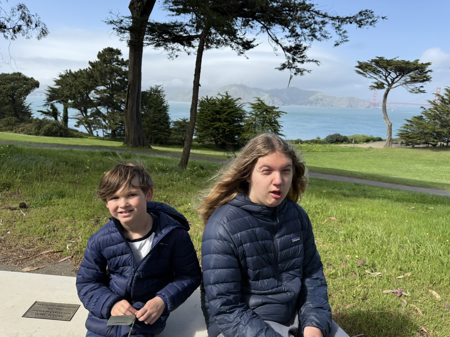
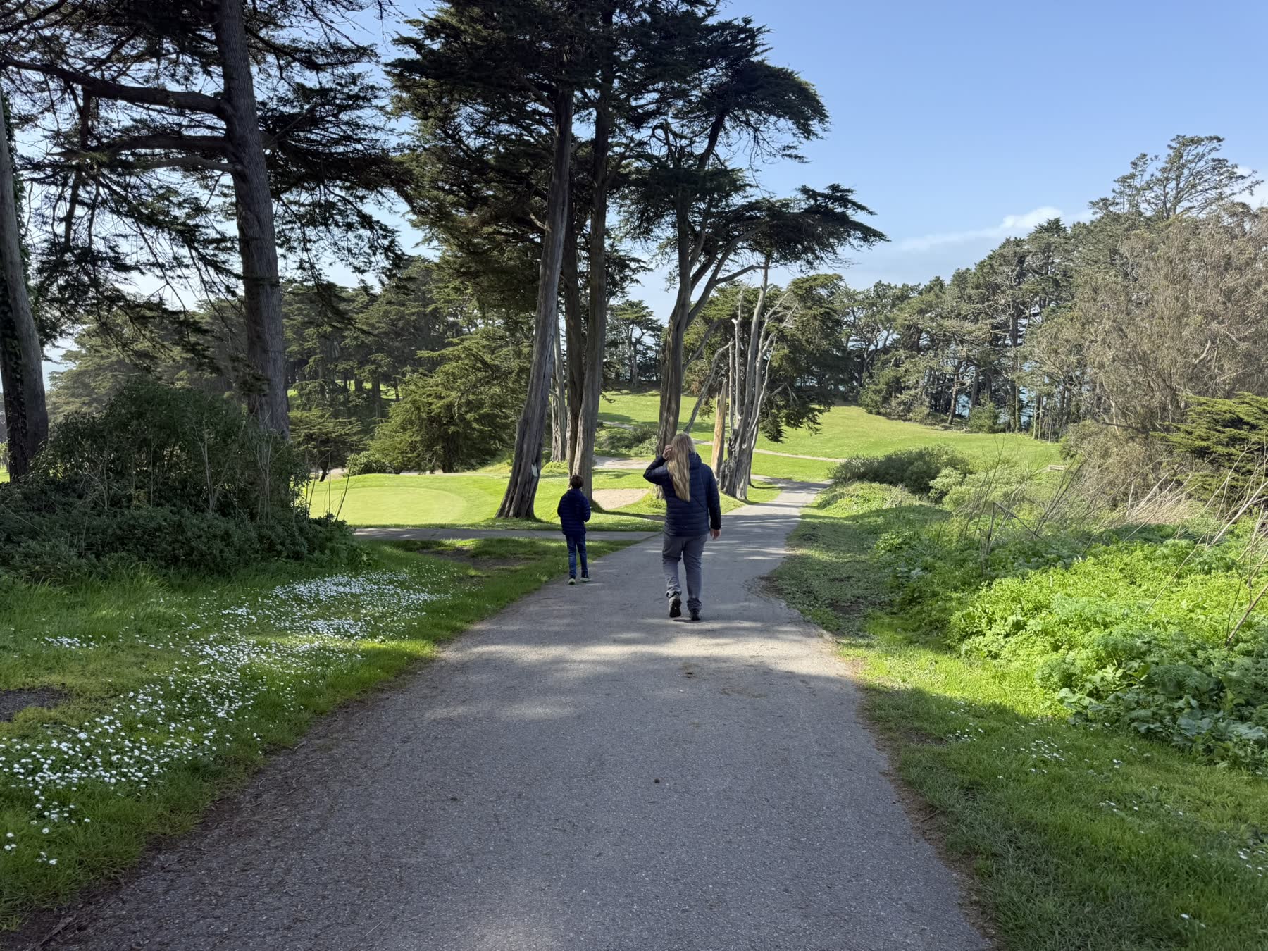
We walked it with the kids, out along the cypress and back across the green of Lincoln Park.
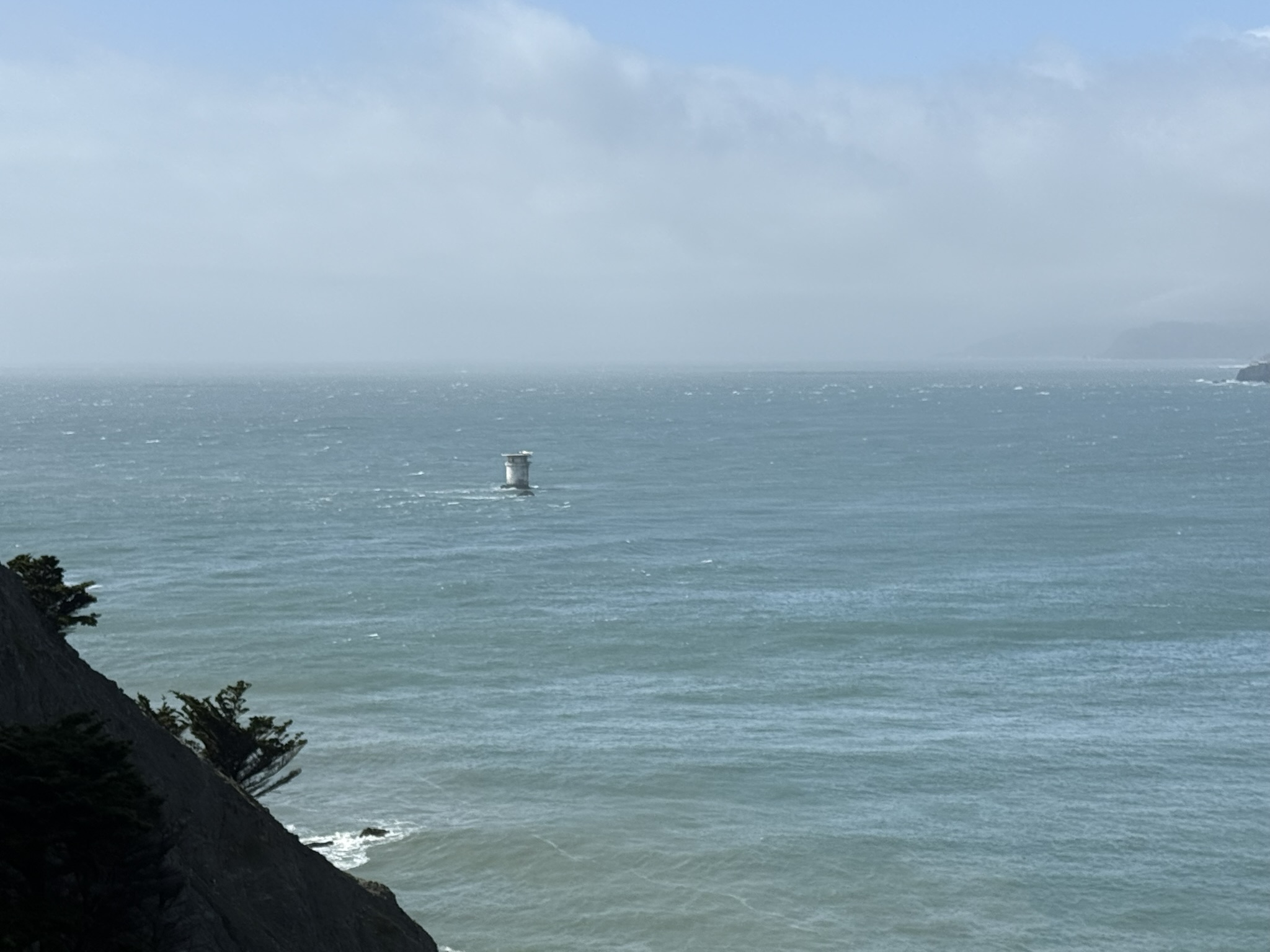
The fog-bound waters off Lands End are thought to have wrecked over 300 ships since the Gold Rush; the rusting hull of the Lyman Stewart is still visible from the cliffs at low tide.
Photos